
 England
The Poind and his Man is a prehistoric site in Northumberland, England, near the village of Bolam and about 7 miles (11 km) west of Morpeth [1]. The site, consisting of a burial mound and a standing stone, is a scheduled monument [1]. The burial mound, described as a round cairn, is situated on a small knoll [1]. It dates from the Late Neolithic to Early Bronze Age [1]. Its diameter is 14 metres, and it is 1.9 metres high [1]. A standing stone, height 2 metres, is next to the mound; it was formerly one of two such stones ("the poind and his man") [1]. The standing stone in the grounds of Wallington Hall is thought to have been moved from here in the early 18th century [1]. The mound was partly excavated in the 18th century by John Warburton [1].
Text: Wikipedia – 'The Poind and his Man' (revision of 2026-07-22), CC BY-SA 4.0 · sentences selected and shortened by an AI system · source →The Poind and his Man
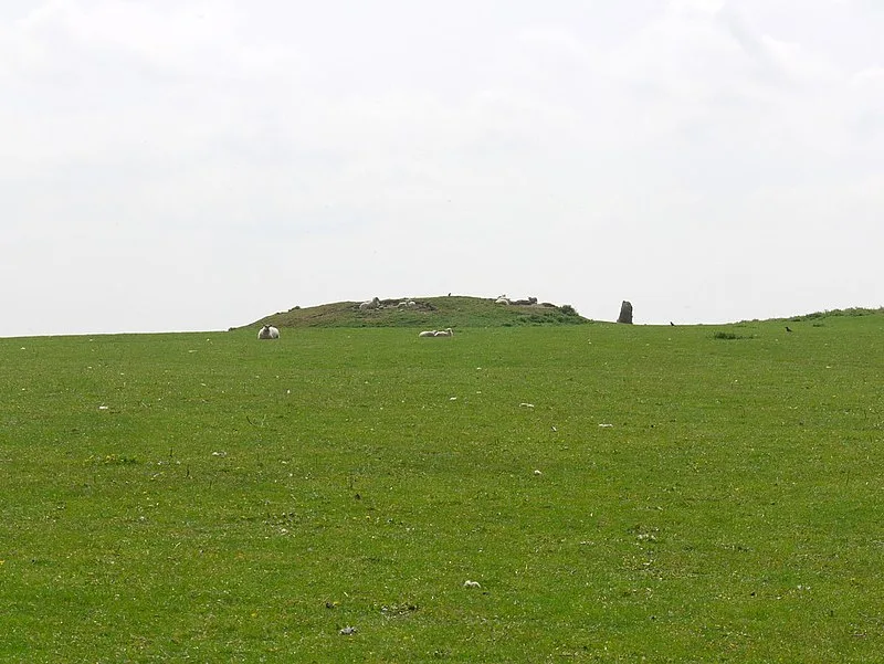
Also known as: Standing stone and adjacent round cairn, 760m north east of East Shaftoe Hall
| Type | Mound/tumulus |
|---|---|
| Period | 4500 - 3000 BC |
| Country | England |
| Coordinates | 55.1335° N, 1.8983° W |