
 England
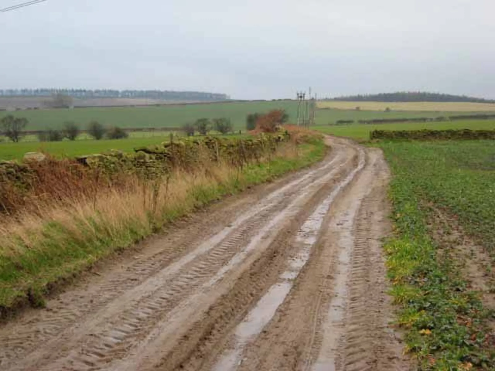
Dere Street or Deere Street is a modern designation of a Roman road which ran north from Eboracum (York), crossing the Stanegate at Corbridge (Hadrian's Wall was crossed at the Portgate, just to the north) and continuing beyond into what is now Scotland, later at least as far as the Antonine Wall [1]. It was the Romans' major route for communications and supplies to the north and to Scotland [1]. The road served to allow supplies and troops such as the legion garrisoned in York quick access to the eastern borderlands and, later, the eastern posts on Hadrian's Wall [1]. Forts were built along Dere Street to protect the route [1]. Dere Street crossed the River Tees over a stone arch bridge near the present-day Piercebridge Roman Fort ruins [1]. Such bridges were rare in Roman Britain except for here in the far north [1]. Excavations in 2007 by CFA Archaeology at Dun Law uncovered a section of the Dere Street Roman road there [1]. The excavations revealed that this section of the road was laid over a palaeochannel using a latticework of logs and a mat of branchwood [1].
Text: Wikipedia – 'Dere Street' (revision of 2025-05-29), CC BY-SA 4.0 · sentences selected and shortened by an AI system · source →Dere Street
Also known as: Deere Street, ディア街道, 德里街
| Type | Road/avenue/trackway |
|---|---|
| Period | 1 - 500 AD |
| Country | England |
| Coordinates | 55.0567° N, 2.0655° W |