
 England
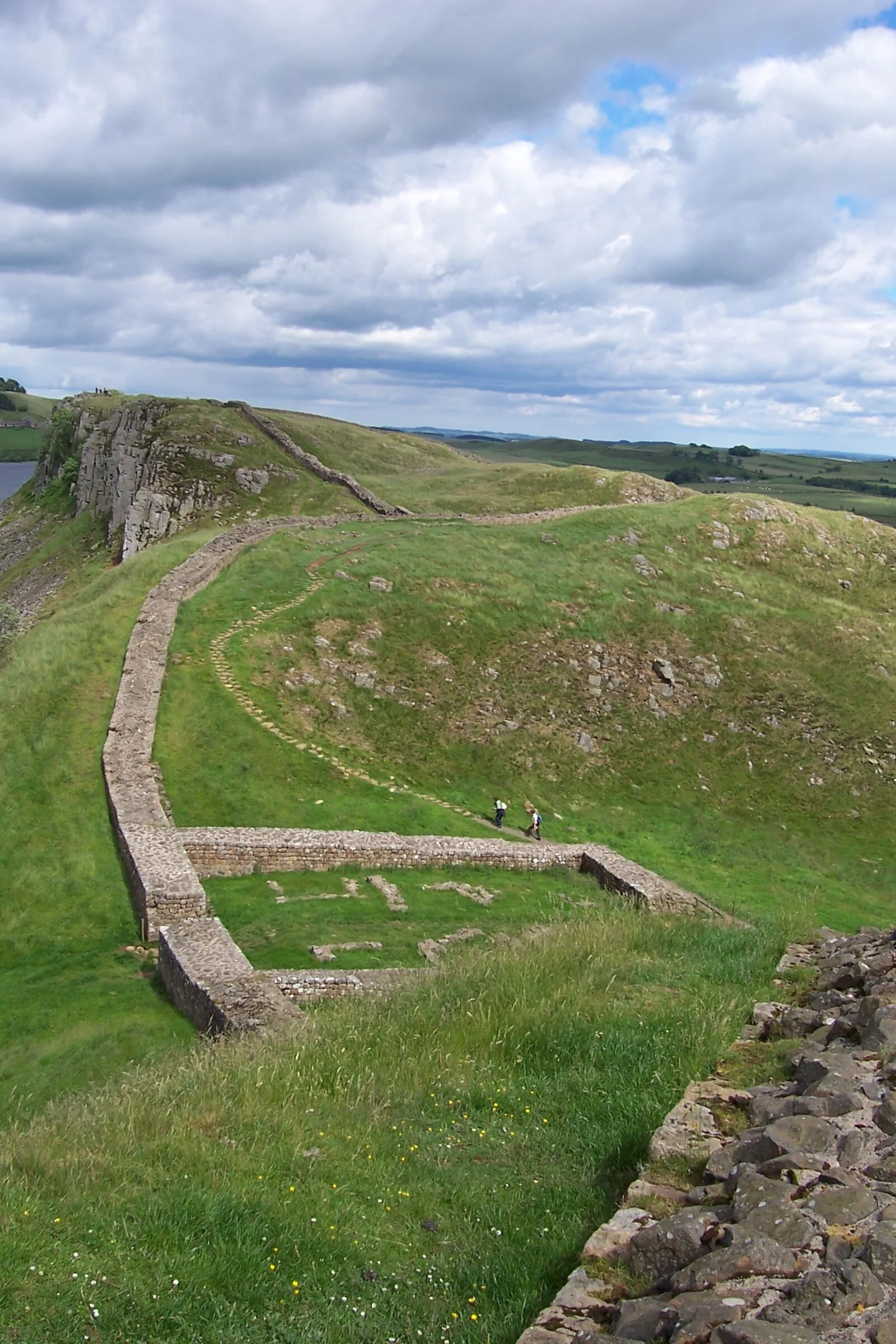
Hadrian's Wall Path is a long-distance footpath in the north of England, which became the 15th National Trail in 2003 [1]. It runs for 84 miles, from Wallsend on the east coast of England to Bowness-on-Solway on the west coast [1]. For most of its length it is close to the remains of Hadrian's Wall, the defensive wall built by the Romans on the northern border of their empire [1]. Most of the Wall runs through remote countryside but there are sections that pass through the cities and suburbs of Newcastle and Carlisle [1]. The section between Chollerford and Walton is the highest and wildest part of the path; it is also where the Wall is most visible, and includes several important Roman forts [1]. The path passes the Roman fort at Vercovicium [1].
Text: Wikipedia – 'Hadrian's Wall Path' (revision of 2026-09-04), CC BY-SA 4.0 · sentences selected and shortened by an AI system · source →Hadrian's Wall Path
Also known as: HWP, sentier du mur d'Hadrien
| Type | Road/avenue/trackway |
|---|---|
| Period | 1500+ AD |
| Country | England |
| Coordinates | 55.0315° N, 2.1279° W |