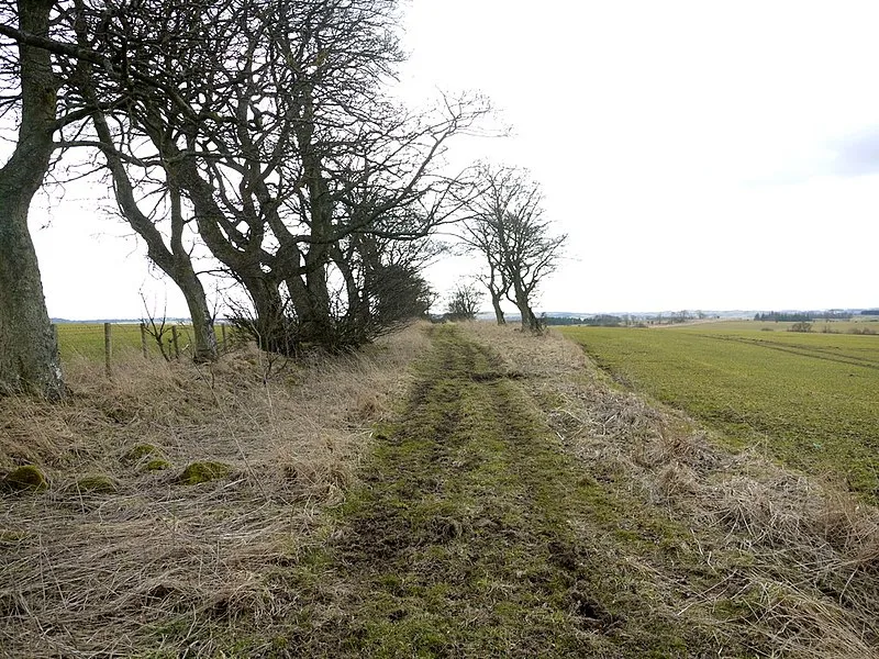
Devil's Causeway

Devil's Causeway
Andrew Curtis · CC BY-SA 2.0

(1st–5th c. AD) The Devil's Causeway is a Roman road in Northumberland, North East England. It branches off Dere Street north of Corbridge and extends approximately 55 miles (89 km) north to Berwick-upon-Tweed, following the coastal route through Northumberland.[1]

TypeRoad/avenue/trackway
Period1 - 500 AD
CountryEngland
Coordinates54.9751° N, 2.0169° W

More sites in England

Corbridge Lion · Coria, Corbridge · Hunnum · Dere Street · Planetrees - Hadrian's Wall Section · Hadrian's Wall Path · Chesters Bridge · Cilurnum · Limestone Corner · Shaftoe Crags Settlement · Rudchester Mithraeum · Vindobala · Vindomora · The Poind and his Man · Huckhoe Settlement · Slate Hill Settlement · Coventina · Carrawburgh · Crawley Edge Cairns · Habitancum · Stanegate · The Goatstones · Hadrian's Wall · Turret - Hadrian's Wall

All sites in England

Keep exploring

Every site on this page sits on the globe, and the people who research them are on the Discord.

3D Globe · Sites by country · Story Archive · Research Library · Weekly Journal · Search