
 England
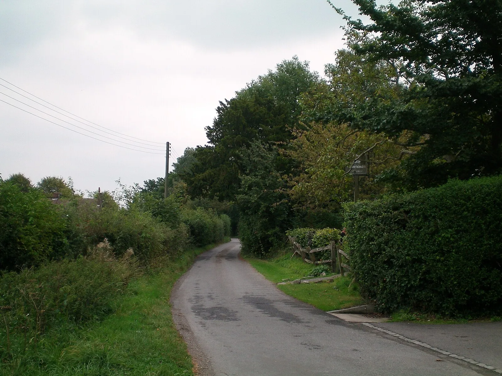
The Sussex Greensand Way is a Roman road that runs east-west linking the London to Lewes Way at Barcombe Mills to Stane Street at Hardham [1]. The road, which has almost entirely fallen out of use, follows the free draining ridge of greensand which lies north of the South Downs [1]. It is a planned route rather than a Romanised Iron Age track, following a few straight alignments without any steep gradients [1]. A number of important Roman villas and their farming estates were linked by the road [1]. It is not known at what time during the Roman period the road was built [1]. Sections made through some better-preserved parts of the road show it to have been of light construction with about 3 inches of metalling, usually on a low agger, but in drier places laid direct on the natural subsoil [1]. The width of metalling varies from 25 feet at the wider points, on an agger about 40 feet wide, down to 9 feet on terraceways crossing hillsides [1]. The metalling on this road has been found to be flint at all the points studied, with a camber of about 8 inches [1].
Text: Wikipedia – 'Sussex Greensand Way' (revision of 2022-08-14), CC BY-SA 4.0 · sentences selected and shortened by an AI system · source →Sussex Greensand Way
Also known as: サセックス・グリーンサンド街道
| Type | Road/avenue/trackway |
|---|---|
| Period | 1 - 500 AD |
| Country | England |
| Coordinates | 50.9141° N, 0.2502° W |