
 England
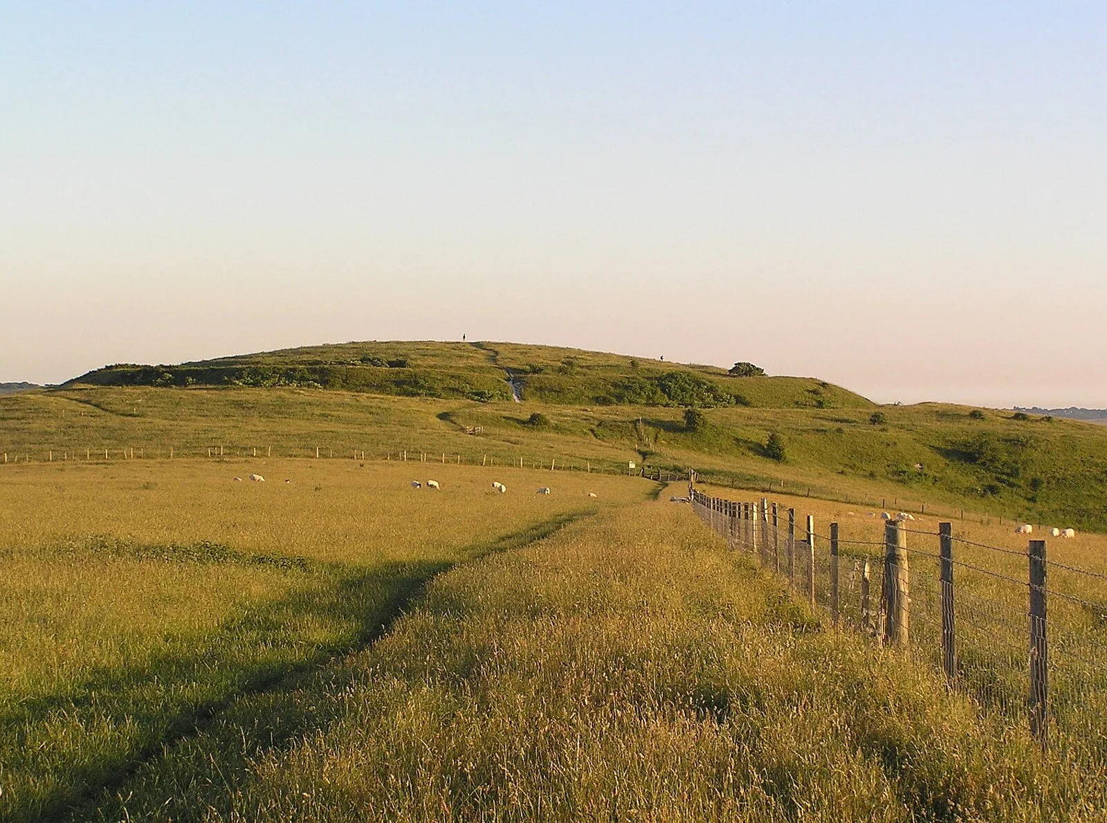
Mount Caburn is a 150-metre (492 ft) prominent landmark in East Sussex, England, about one mile (1.6 km) east of Lewes overlooking the village of Glynde [1]. It is the highest part of an outlier of the South Downs, separated from the main range by Glynde Reach, a tributary of the River Ouse [1]. On the summit of Caburn are the remains of an Iron Age hill fort [1]. The hill fort has been repeatedly excavated, by Augustus Pitt Rivers from 1877 to 1878, the Curwens from 1925 to 1926, and again from 1937 to 1938, and the Sussex Archaeological Society from 1996 to 1998 [1]. The fact that a single Neolithic leaf-shaped arrowhead is the only pre-Bronze Age find on Caburn, despite the extent and duration of excavations, suggests that there was little permanent occupation then [1]. The summit was initially enclosed in the middle Iron Age (c. 400 BC), with a deep V-shaped ditch and a bank of dumped spoil [1].
Text: Wikipedia – 'Mount Caburn' (revision of 2026-05-25), CC BY-SA 4.0 · sentences selected and shortened by an AI system · source →Mount Caburn
Also known as: camp du mont Caburn, Hillfort, bowl barrow and associated remains on The Caburn, Mount Caburn Camp, The Caburn
| Type | Fortress/citadel |
|---|---|
| Period | 500 BC - 1 AD |
| Country | England |
| Coordinates | 50.8621° N, 0.0509° E |