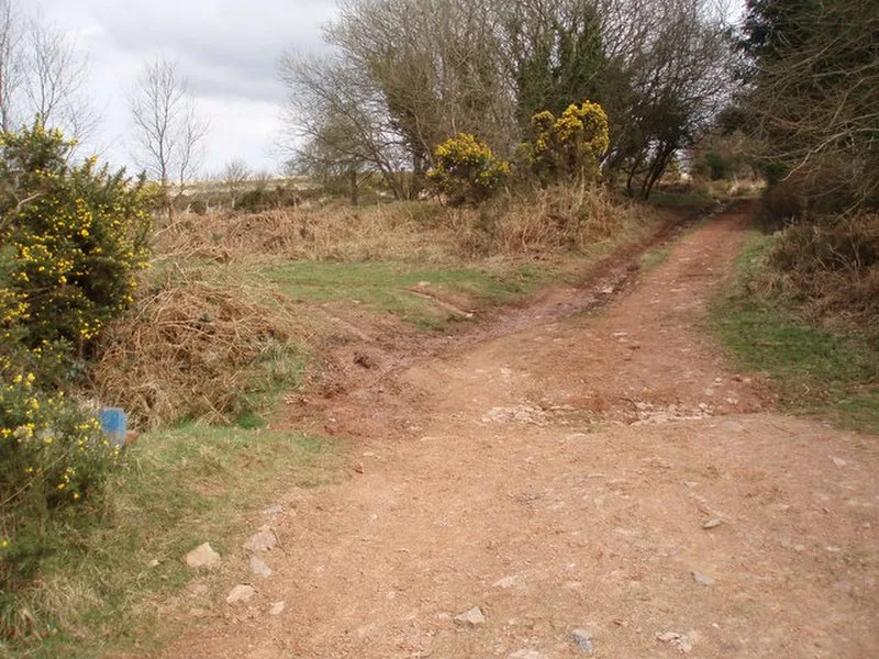
Rodhuish Common

Rodhuish Common
Barbara Cook · CC BY-SA 2.0

A small oval Iron Age earthwork enclosure on the steep southeast-facing slopes of Rodhuish Common in Somerset, England. The enclosure measures 31.7 m north-south by 28.3 m east-west, defined by a stony bank averaging 0.6 m high, with a 1.7 m cut into the natural slope on the western side. A possible entrance is visible on the north side. Designated as a Scheduled Monument in 2003 (ref. 1021122), the site may be associated with a hillfort 450 m away at Monkslade Common. Listed on Historic England's Heritage at Risk register.

TypeEarthwork
Period1500 - 500 BC
CountryEngland
Coordinates51.1436° N, 3.4323° W

Related resources

More sites in England

Bat's Castle · Long Wood Enclosure · Black Ball Camp · Grabbist Hillfort · Clatworthy Camp · Battlegore Burial Chamber · Elworthy Barrows · East Myne · Bury Castle, Selworthy · Winsford, Somerset · Curdon Camp · Clayhanger, Devon · Dunkery Beacon - Dunkery Hill · Castles Camp · Sweetworthy · Oldberry Castle · Trendle Ring · Huntsham Castle · King's Castle, Wiveliscombe · Mounsey Castle · Brewer's Castle · Road Castle · Berry Castle, Somerset · Castle Close

All sites in England

Keep exploring

Every site on this page sits on the globe, and the people who research them are on the Discord.

3D Globe · Sites by country · Story Archive · Research Library · Weekly Journal · Search