
 England
Iron Age hill fort spanning the Wiltshire-Berkshire border, occupying 14 hectares on a small plateau's southwestern corner[1]. The single ditch with outer and inner banks encloses a 390m by 490m area, with steep natural slopes to the south and west providing defense[1]. Earthworks are heavily wooded, while interior farmland shows a possible hut circle as a cropmark[1]. The east entrance retains inturning flanks but is overgrown; other gaps appear modern[1]. RAF Membury's wartime construction partially destroyed the earthwork's eastern side[1]. UnExcavated, but pottery (1977, 1980, 1987) and Mesolithic-Neolithic flint tools confirm long-term prehistoric activity[1]. Scheduled Ancient Monument 228970[1].
Membury Camp
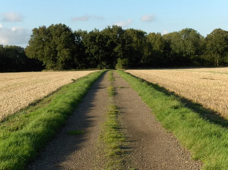
Also known as: Membury Fort
| Type | Fortress/citadel |
|---|---|
| Period | 1500 - 500 BC |
| Country | England |
| Coordinates | 51.4765° N, 1.5665° W |