
 England
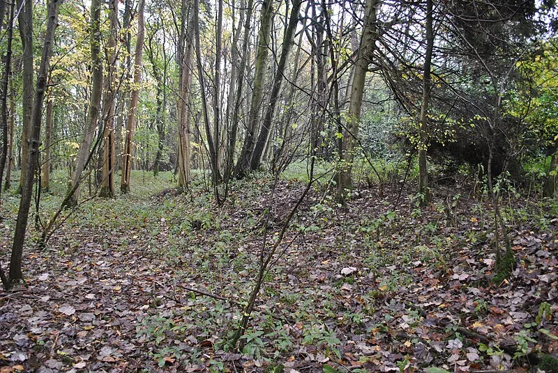
Bevisbury is the site of a former Iron Age plateau fort in Hampshire, England [1]. The fort lies on a chalk ridge and is of a single bank and ditch construction, enclosing an area of 1.7 hectares [1]. The earthworks are now largely destroyed and overgrown, with the southern ramparts the best preserved [1]. The site was designated as a scheduled monument in 1951 [1]. The site lies to the east of the village of Chute, in Wiltshire, but itself lies just within the civil parish of Tangley in the county of Hampshire [1]. The site is bisected by a Roman road, now Hungerford Lane, which travels broadly north-west to south-east, and runs between Winchester and Mildenhall [1]. The site lies at a height of 220 metres AOD [1].
Text: Wikipedia – 'Bevisbury' (revision of 2026-02-23), CC BY-SA 4.0 · sentences selected and shortened by an AI system · source →Bevisbury
Also known as: Berisbury, Berisbury camp near Hampshire Gate
| Type | Fortress/citadel |
|---|---|
| Period | 1500 - 500 BC |
| Country | England |
| Coordinates | 51.2858° N, 1.5338° W |