
 England
The Ridgeway is a ridgeway or ancient trackway described as Britain's oldest road [1]. The section clearly identified as an ancient trackway extends from Wiltshire along the chalk ridge of the Berkshire Downs to the River Thames at the Goring Gap, part of the Icknield Way which ran, not always on the ridge, from Salisbury Plain to East Anglia [1]. For at least 5,000 years travellers have used the Ridgeway [1]. The Ridgeway provided a reliable trading route to the Dorset coast and to the Wash in Norfolk [1]. The high dry ground made travel easy and provided a measure of protection by giving traders a commanding view, warning against potential attacks [1]. During the Iron Age, inhabitants took advantage of the high ground by building hillforts along the Ridgeway to help defend the trading route [1].
Text: Wikipedia – 'The Ridgeway' (revision of 2026-09-04), CC BY-SA 4.0 · sentences selected and shortened by an AI system · source →The Ridgeway
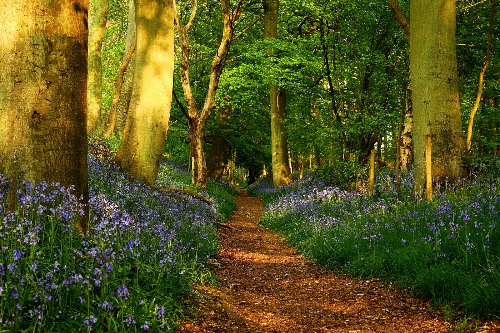
Also known as: Ridgeway, Ridgeway National Trail, Ridžvejan te, The Ridgeway National Trail, Риджуэйская дорога, 里奇韦道
| Type | Road/avenue/trackway |
|---|---|
| Period | 4500 - 3000 BC |
| Country | England |
| Coordinates | 51.5635° N, 1.3500° W |