
 England
The Uffington White Horse is a prehistoric hill figure, 110 m long, formed from deep trenches filled with crushed white chalk [1]. The figure is situated on the upper slopes of Whitehorse Hill in the English civil parish of Uffington in Oxfordshire, some 16 km east of Swindon [1]. The hill forms a part of the scarp of the Berkshire Downs and overlooks the Vale of White Horse to the north [1]. The Uffington White Horse was created some time between 1380 and 550 BC, during the late Bronze Age or early Iron Age [1]. A cartulary of Abingdon Abbey, compiled between 1072 and 1084, refers to "mons albi equi" at Uffington [1]. The most significant nearby feature is the Iron Age Uffington Castle, located on higher ground atop a knoll above the White Horse [1].
Text: Wikipedia – 'Uffington White Horse' (revision of 2026-09-24), CC BY-SA 4.0 · sentences selected and shortened by an AI system · source →Uffington White Horse
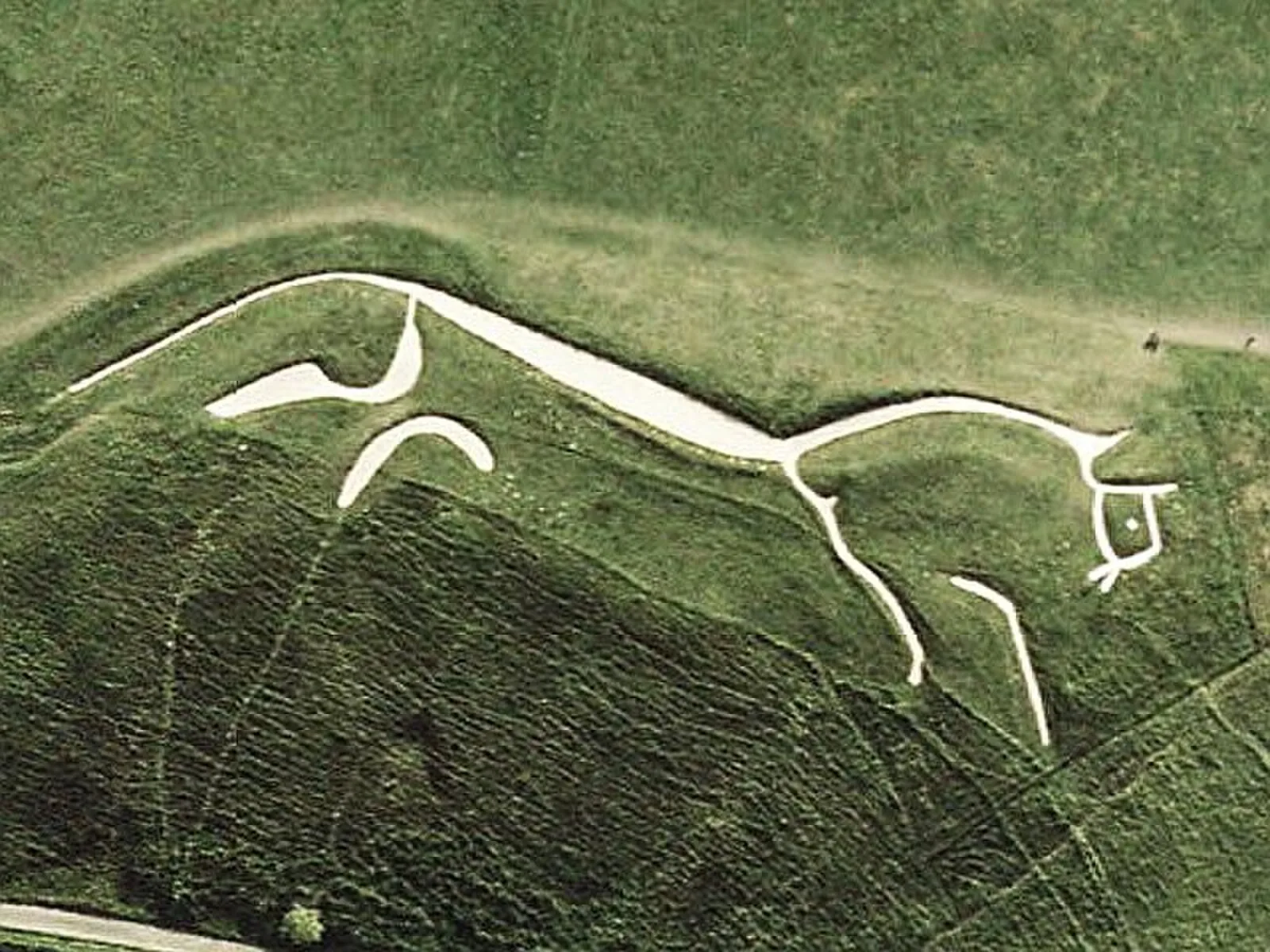
Also known as: 화이트호스 힐, 어핑턴의 백마, 어핑턴 화이트호스, 어핑턴 화이트 호스, 화이트 호스 힐, 백마 언덕, Biały Koń z Uffington, Bijeli konj iz Uffingtona, Bílý kůň z Uffingtonu, Caballo Blanco de Uffington, Capall Bán Uffington, Cavall blanc d'Uffington
| Type | Geoglyphs |
|---|---|
| Period | 1500 - 500 BC |
| Country | England |
| Coordinates | 51.5777° N, 1.5667° W |