
 England
Dowsborough Camp is an Iron Age hill fort on the Quantock Hills near Nether Stowey in Somerset [1]. It has been designated as a Scheduled Monument [1]. The site is at a height of 1115' (340 metres) on an easterly spur from the main Quantock ridge, with views north to the Bristol Channel, and east over the valley of the River Parrett [1]. The fort has an oval shape, with a single rampart and ditch (univallate) following the contours of the hill top, enclosing an area of 6¾ acres (2.7 hectares) [1]. The main entrance is to the east, towards Nether Stowey, with a simpler opening to the north-west, aligned with a ridgeway leading down to Holford [1].
Text: Wikipedia – 'Dowsborough' (revision of 2026-06-25), CC BY-SA 4.0 · sentences selected and shortened by an AI system · source →Dowsborough Camp
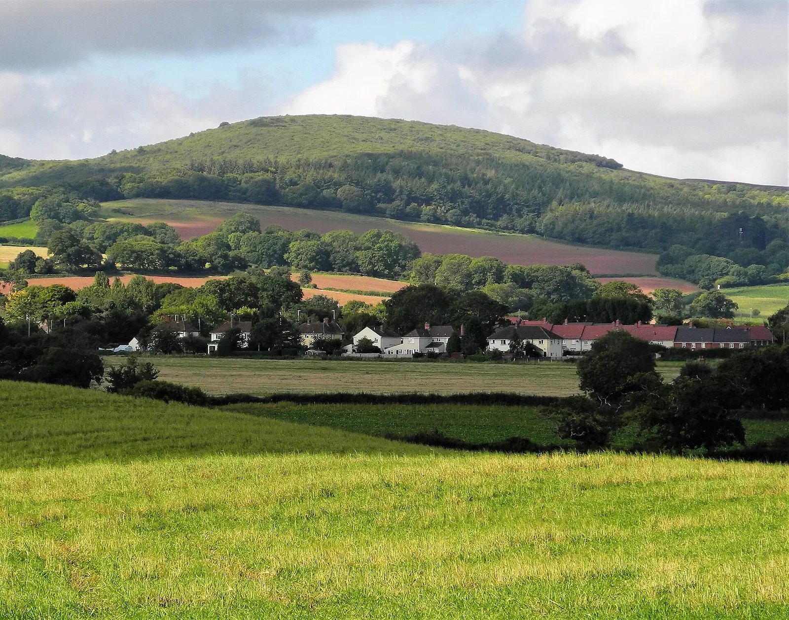
Also known as: Danesborough, Dawesbury, Dowsborough, Dowsborough Castle Hill, Dowsborough hillfort and associated round barrow
| Type | Fortress/citadel |
|---|---|
| Period | 1500 - 500 BC |
| Country | England |
| Coordinates | 51.1456° N, 3.2015° W |