
 England
Devil's Dyke is the remains of a prehistoric defensive ditch which lies at the east side of the village of Wheathampstead, Hertfordshire [1]. It is protected as a Scheduled Monument [1]. It is generally agreed to have been part of the defences of an Iron Age settlement belonging to the Catuvellauni tribe of Ancient Britain [1]. Historic England refers to the Devil's Dyke as being part of a much larger site [1]. Some other sources are more specific as to what sort of earthwork it may be, suggesting that the dyke protects one side of an oppidum (a large fortified Iron Age settlement) covering about 40 ha [1]. Today two sections of ditch remain [1]. The western section, adjacent to the village, is the Devil's Dyke [1]. It is around 30 m wide and 12 m deep at its largest [1].
Text: Wikipedia – 'Devil's Dyke, Hertfordshire' (revision of 2024-08-27), CC BY-SA 4.0 · sentences selected and shortened by an AI system · source →Devil's Dyke, Hertfordshire
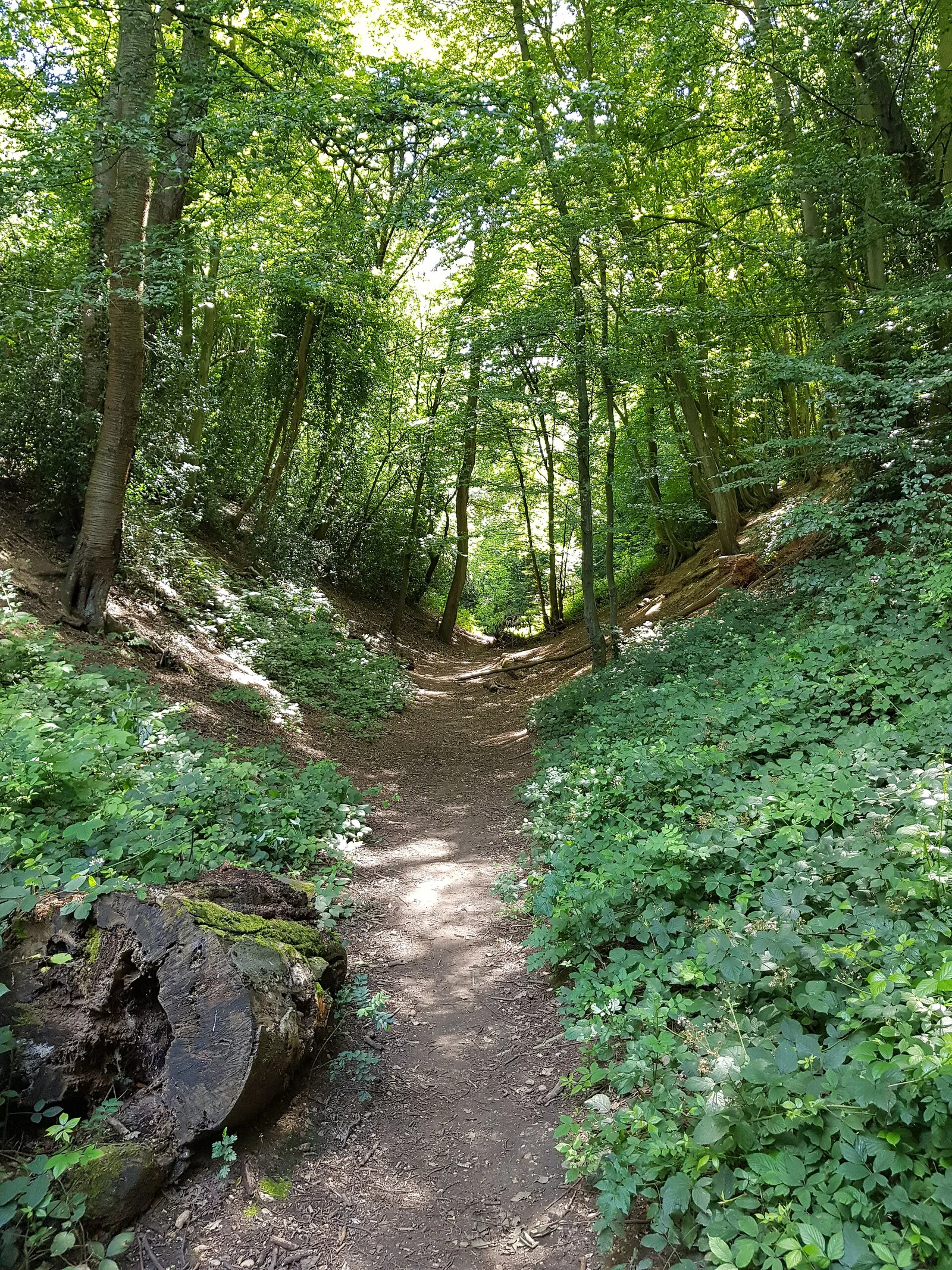
Also known as: (Devil's Dyke), Devil's Dyke, Devil's Dyke (Hertfordshire)
| Type | Earthwork |
|---|---|
| Period | 500 BC - 1 AD |
| Country | England |
| Coordinates | 51.8069° N, 0.2855° W |