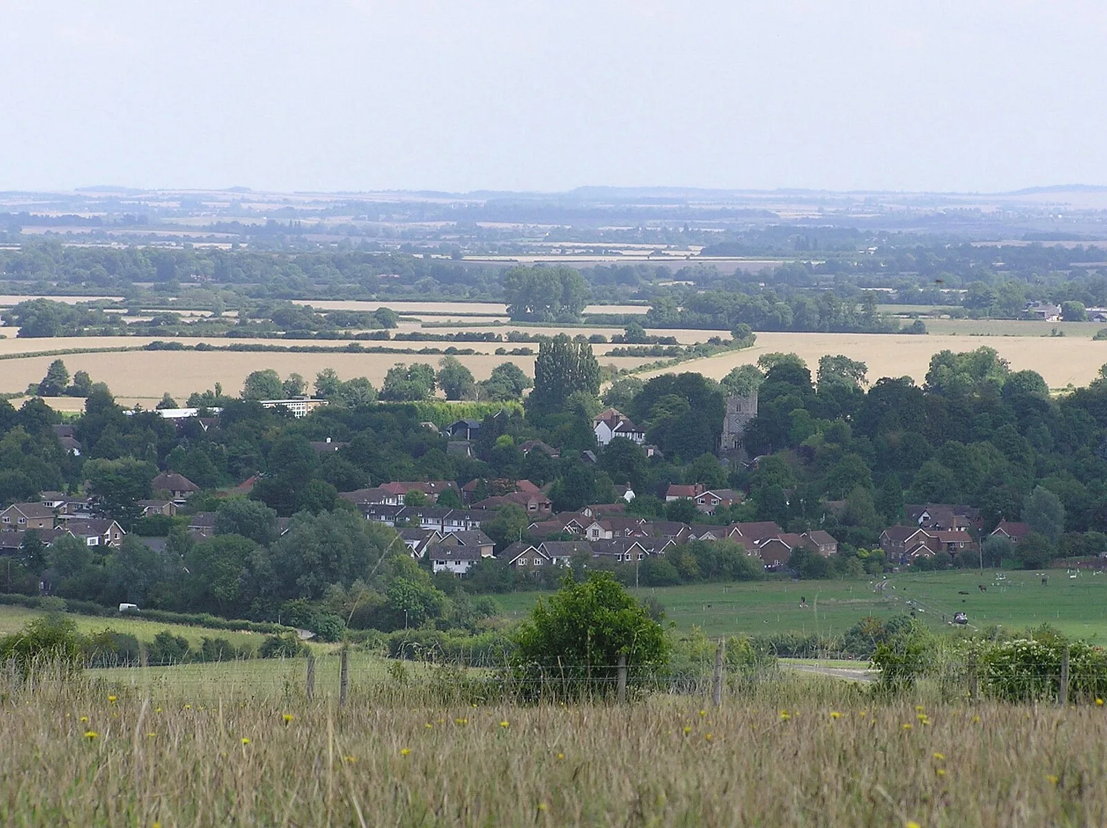
Barton-le-Clay

Barton-le-Clay
User:Lcarsdata · CC BY 2.5

Barton-le-Clay is a village in Central Bedfordshire, England, at the foot of the Chiltern Hills, with prehistoric roots evidenced by Bronze Age round barrows on nearby Galley Hill and the Iron Age promontory fort at Sharpenhoe Clappers, 1.5 km to the southwest. The hillfort occupies a commanding position some 90 metres above the surrounding countryside and dates to between the 6th century BC and mid-1st century AD. Regarded as a high-status permanent settlement, it reflects the defensive architecture typical of Iron Age hillforts in southern Britain. The village itself is recorded in the Domesday Book of 1086.

TypeSettlement
Period1500 - 500 BC
CountryEngland
Coordinates51.9669° N, 0.4241° W

Related resources

More sites in England

Hexton · Waulud's Bank · Maiden Bower Hill Fort · Totternhoe Roman Villa · Redbourn · Wilbury Hill Camp · Great Wymondley · Mowsbury Hill · Sandy, Bedfordshire · Devil's Dyke, Hertfordshire · Double Arches Pit · Beech Bottom Dyke · Verlamion · Verulamium · Roman Theatre, St Albans · Woburn Sands · Six Hills · Ivinghoe · Welwyn Roman Baths · Arbury Banks, Hertfordshire · Whelpley Hill · Ashwell, Hertfordshire · Milton Keynes Hoard · Cholesbury

All sites in England

Keep exploring

Every site on this page sits on the globe, and the people who research them are on the Discord.

3D Globe · Sites by country · Story Archive · Research Library · Weekly Journal · Search