
 England
Beech Bottom Dyke, is a large ditch running for almost a mile at the northern edge of St Albans, Hertfordshire, flanked by banks on both sides [1]. It is up to 30 m wide, and 10 m deep [1]. The dyke was constructed towards the end of the Iron Age, probably between 5 and 40 AD [1]. This, and other similar earthworks in the district, may have been built by the powerful Celtic tribe established in this area, the Catuvellauni, probably by King Cunobelinus to define areas of land around their tribal centre at Verlamion, the predecessor of the Roman city of Verulamium [1]. Beech Bottom Dyke is thought to have originally been part of a defensive system for a Belgic settlement [1].
Text: Wikipedia – 'Beech Bottom Dyke' (revision of 2026-08-31), CC BY-SA 4.0 · sentences selected and shortened by an AI system · source →Beech Bottom Dyke
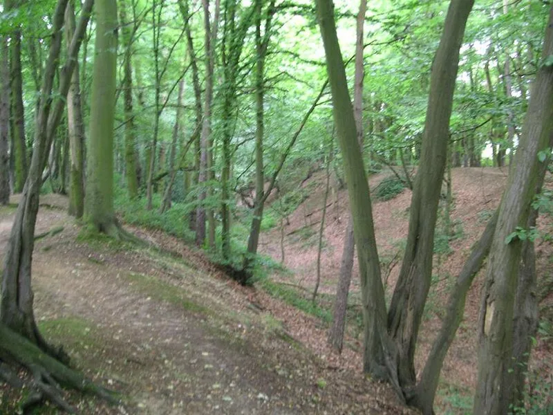
Also known as: Iron Age territorial boundary known as Beech Bottom Dyke
| Type | Earthwork |
|---|---|
| Period | 1 - 500 AD |
| Country | England |
| Coordinates | 51.7694° N, 0.3263° W |