
 England
Coria was a Roman fort and town 2.5 miles (4.0 km) south of Hadrian's Wall in the province of Britannia [1]. It stood at the junction where a major north-south Roman road crossed the River Tyne and met the Stanegate road, the first frontier line running east-west to Luguvalium [1]. The site sits on the edge of modern Corbridge village in Northumberland [1].
Coria, Corbridge
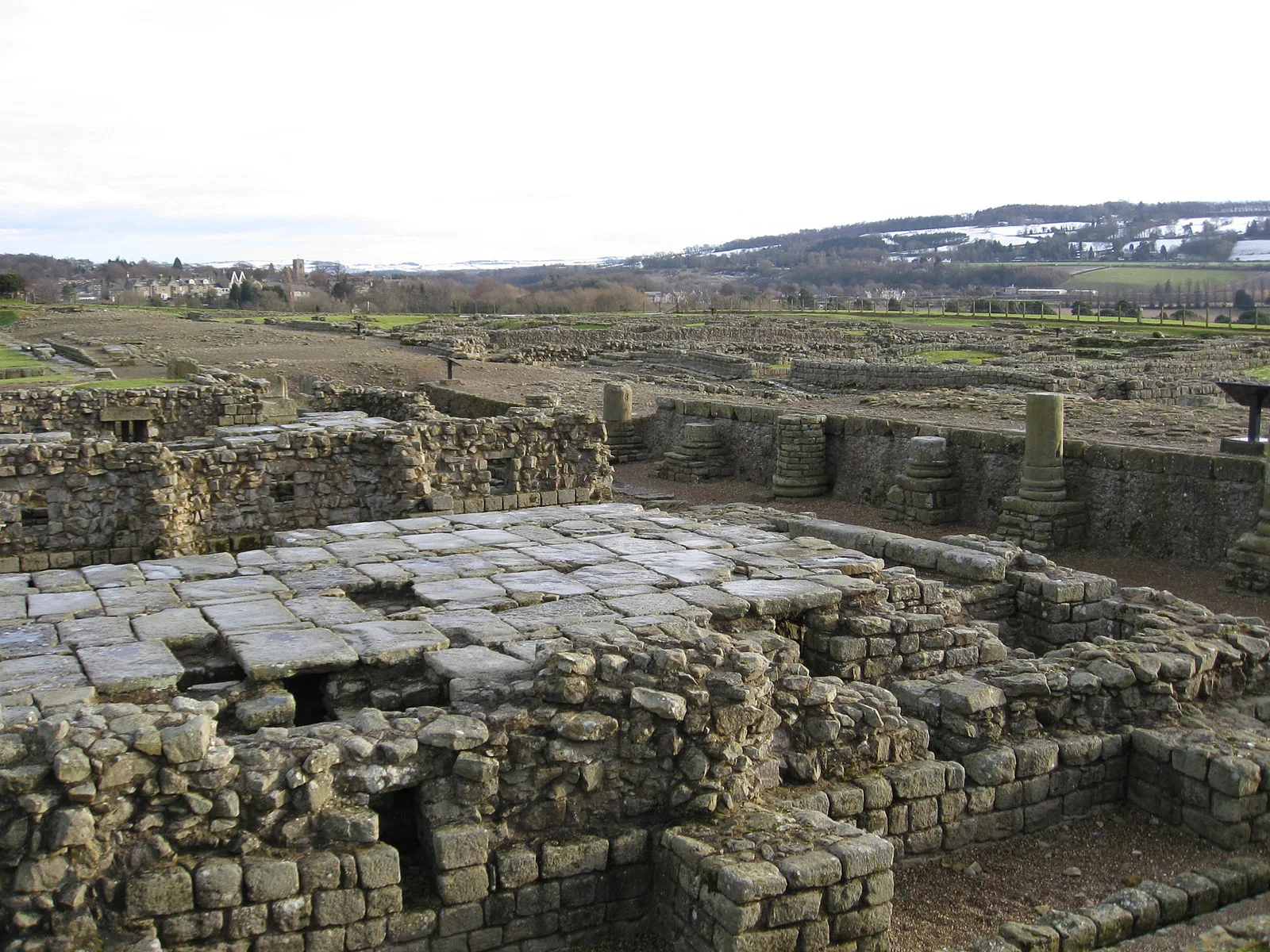
Also known as: Corbridge (Corstopitum) Roman station, Corbridge Roman fort, Corbridge Roman Site, Coria, Coria (Corbridge), Coriosopitum, Corstopitum, Кориа, 哥橋羅馬鎮
| Type | Fortress/citadel |
|---|---|
| Period | 1 - 500 AD |
| Country | England |
| Coordinates | 54.9785° N, 2.0332° W |