

Devil's Causeway cuts through a high ridge into the Snake River at 500 ft deep — now a wind gap with no water flowing. The original Palouse River valley was overwhelmed during peak flooding, and spillover occurred when water reached ~350 ft above the Snake River. Parallel strandlines from receding flood waters are still visible throughout the landscape today. 🏞️
Devil's Causeway water gap carved by catastrophic Palouse River spillover
 EnglandGeneral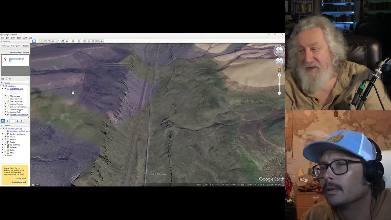
Key facts
- Devil's Causeway cuts through a high interfluve into the Snake River at ~784-1,321 ft elevation range (500 ft deep)
- The original Palouse River valley was overwhelmed during the peak flood; spillover across the divide occurred when water reached ~350 ft above the Snake River
- Devil's Causeway is now a wind gap (no water flowing)
- Parallel/subparallel strandlines (terracettes) left by receding flood waters are visible throughout the landscape
- The Palouse River was captured into Palouse Canyon after it downcut enough to become the path of least resistance
Site mentioned
Sources
Road Blog: Palouseinfospigot.com
From there we made our way over to the Snake River country, the town of Kahlotus and Devil's Canyon, yet another landscape wrought by the ice age floods. We ...
Devil's Canyon south of Kahlotuswashingtonlandscape.blogspot.com
The north-northeast trending ridges are reflective of the wind direction that deposited the loess of the Palouse over the area. Devil's Canyon ...
Multiple fires burning south of Khalotus near Devil's ...applevalleynewsnow.com
Fire officials said the fires' spread is being driven by high winds, and airborne firefighting assets are battling these blazes and other nearby ...
Where is Devil Canyon… and why does it matter now?wyeastblog.org
Devil Canyon holds one of Mount Hood's best waterfalls – known to only a few, despite being less than a mile from busy traffic on US26.
Ice Age Floods National Geologic Trail - Devil's Canyon.hugefloods.com
Ice Age Floods National Geologic Trail. Tour Stop 21 - Devil's Canyon. Devils Canyon. 1. Lake Columbia Strandlines, 8. Moses Coulee, 14. Sentinel Gap, 20.
Was this story useful?
Keep exploring
Every site on this page sits on the globe, and the people who research them are on the Discord.
3D Globe · Sites by country · Story Archive · Research Library · Weekly Journal · Search
AI-generated text · images from the original sources · always verify with the sources.