
 England
Cranmore Castle is an Iron Age earthwork situated on a hillside above the Devon town of Tiverton in south-west England [1]. The earthwork is also unusual in that the area it encloses slopes from 120 metres to 170 metres above sea level [1]. This arrangement does however offer clear lines of sight to Cadbury Castle, Castle Close below Stoodleigh up the Exe Valley, Huntsham Castle, Hembury fort and other significant hills and earthworks, suggesting that all were contemporary [1]. It also manages to overlook the confluence of the rivers Lowman and Exe and the forded crossings on those rivers, which a higher position would not allow [1]. The Ordnance Survey Map of Southern Britain in the Iron Age shows Cranmore as the largest enclosure in Devon (along with Hillsborough) at over 15 acres [1].
Text: Wikipedia – 'Cranmore Castle' (revision of 2026-07-18), CC BY-SA 4.0 · sentences selected and shortened by an AI system · source →Cranmore Castle
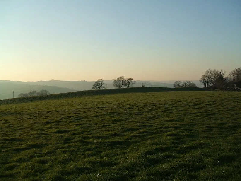
Also known as: Castillo de Cranmore, Cranmore Castle, Tiverton, Cranmore Kalesi
| Type | Earthwork |
|---|---|
| Period | 4500 - 3000 BC |
| Country | England |
| Coordinates | 50.8961° N, 3.4821° W |