
 England
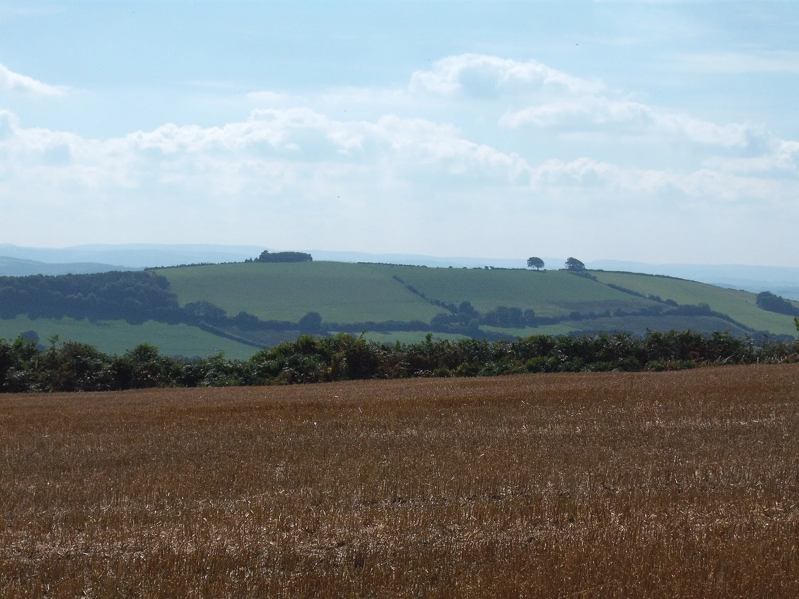
Raddon Top is the highest point of the Raddon Hills, a small ridge of hills in the Shobrooke area of Mid Devon, England [1]. The summit is at some 235 metres above sea level, making it a significant feature in the surrounding countryside [1]. Archaeological excavations in 1994 revealed remains of an Early Iron Age palisaded enclosure and an Iron Age hillfort with timber ramparts [1]. The same excavations also uncovered a much earlier Neolithic causewayed enclosure [1].
Text: Wikipedia – 'Raddon Top' (revision of 2026-02-16), CC BY-SA 4.0 · sentences selected and shortened by an AI system · source →Raddon Top
| Type | Earthwork |
|---|---|
| Period | 4500 - 3000 BC |
| Country | England |
| Coordinates | 50.8167° N, 3.5841° W |