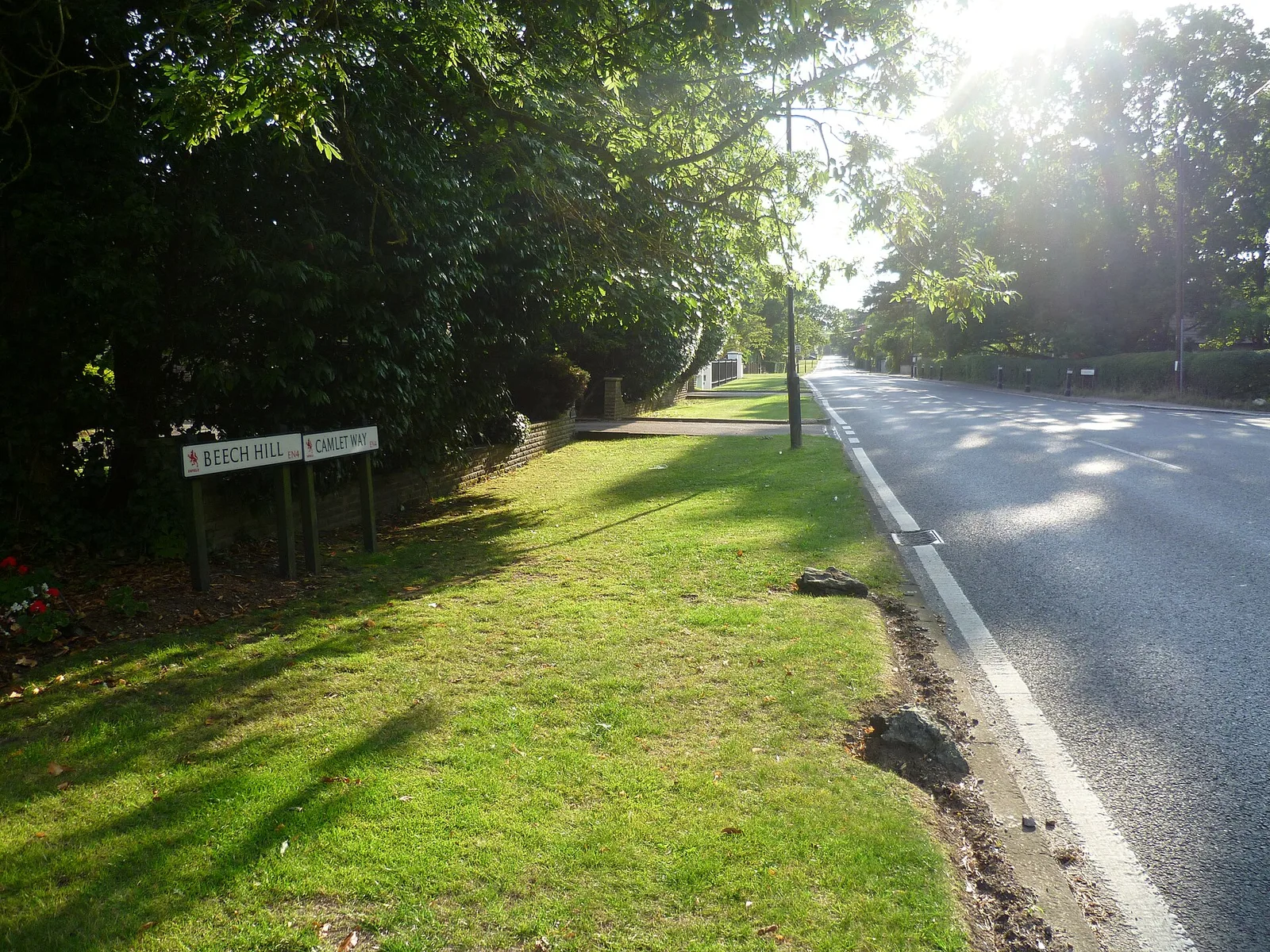
Camlet Way

Camlet Way was a Roman road in England running east-west between Colchester (Camulodunum) in Essex and Silchester (Calleva Atrebatum) in Hampshire, passing through St Albans (Verulamium). It crossed the River Thames by bridge at Hedsor Wharf to Sashes Island near Cookham in Berkshire. The road was one of several major routes connecting Camulodunum, Roman Britain's first capital, to the wider province. Modern remote sensing data from the Chiltern Conservation Board's 'Beacons of the Past' project has helped re-evaluate evidence for the road's route.

TypeRoad/avenue/trackway
Period1 - 500 AD
CountryEngland
Coordinates51.8917° N, 0.9029° E

Related resources

More sites in England

Temple of Claudius, Colchester · Camulodunum · Balkerne Gate · Beaumont Cut · The Warbanks · Danbury, Essex · Clare, Suffolk · Danish Camp · Landguard Fort · Chelmsford · Pye Road · Stane Street, Colchester · Watling Temple · Reculver · Bartlow Hills · Grime's Graves · Bigbury Camp · Durovernum Cantiacorum · Julliberrie's Grave · Lynford Quarry · South Weald Camp · Portingbury Hills · Jacket's Field Long Barrow · Cossington, Kent

All sites in England

Keep exploring

Every site on this page sits on the globe, and the people who research them are on the Discord.

3D Globe · Sites by country · Story Archive · Research Library · Weekly Journal · Search