
 England
Portingbury Hills or Portingbury Rings is a hill in Hatfield Forest, Hatfield Broad Oak, Essex [1]. Archaeological excavations were carried out in 1964–1965, with recovered evidence including a small flint blade 4 cm long, animal bones, flints, and charcoal, dated to the Iron Age [1]. The earthworks at Portingbury consist of 3 features; a hill and mound connected by a zig-zag causeway formed by 2 almost parallel ditches to another rectangular enclosure measuring 30 by 21 metres surrounded by a large ditch with a suggested bank up to 11 metres wide [1]. They are located in the northwest of Hatfield Forest in Beggarshall coppice [1]. Archaeologists suggested that the initial ditch surrounding the mound would have been approximately 2 metres in depth suggesting it once had earth ramparts supported by timber [1]. However the earthworks are too small to be a hillfort and are not in a defensible position [1].
Text: Wikipedia – 'Portingbury Hills' (revision of 2026-05-24), CC BY-SA 4.0 · sentences selected and shortened by an AI system · source →Portingbury Hills
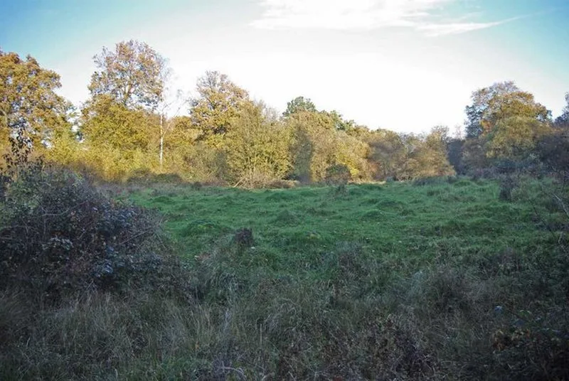
Also known as: Portingbury Rings
| Type | Earthwork |
|---|---|
| Period | 500 BC - 1 AD |
| Country | England |
| Coordinates | 51.8615° N, 0.2243° E |