
 England
Grime's Graves is a large Neolithic flint mining complex in Norfolk, England [1]. It lies 8 km north east from Brandon, Suffolk in the East of England [1]. It was worked between c. 2600 and c. 2300 BC, although production may have continued through the Bronze and Iron Ages and later [1]. The scheduled monument extends over an area of some 37 ha and consists of at least 433 shafts dug into the natural chalk to reach seams of flint [1]. The largest shafts are more than 14 m deep and 12 m in diameter at the surface [1]. An upper 'topstone' and middle 'wallstone' seam of flint was dug through on the way to the deeper third 'floorstone' seam which most interested the miners [1]. The miners used picks fashioned from the antler of red deer [1]. Grime's Graves was first extensively explored by the archaeologist William Greenwell in 1868 [1].
Text: Wikipedia – 'Grime's Graves' (revision of 2026-08-07), CC BY-SA 4.0 · sentences selected and shortened by an AI system · source →Grime's Graves
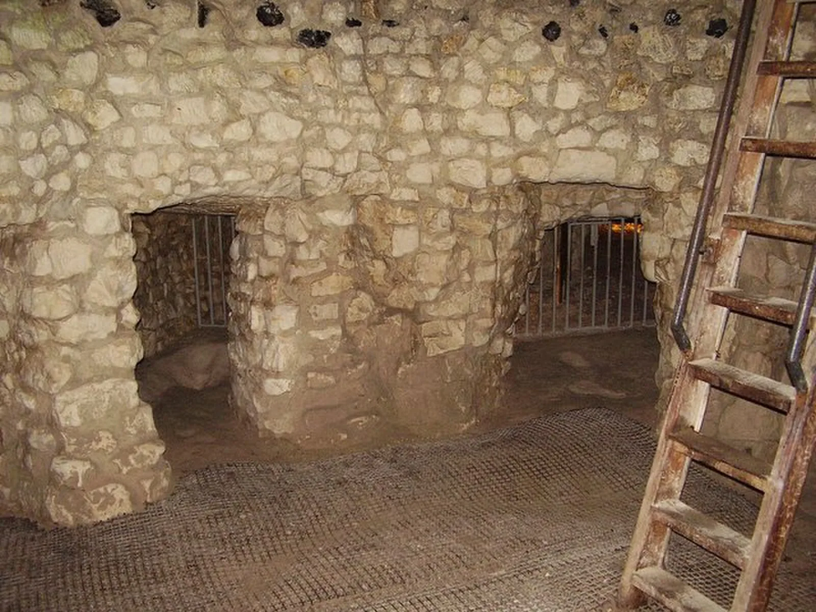
Also known as: Grimes Graves, Grimes Graves, including round barrow in Grimes Graves Plantation, Τάφοι του Γκράιμ, Граймз-Грейвз, Граймс-Грейвс, გრაიმზ-გრეივზი, גרימס גרייווס, グリムズ・グレイヴス, 格蘭姆斯燧石礦井
| Type | Mine/quarry |
|---|---|
| Period | 3000 - 1500 BC |
| Country | England |
| Coordinates | 52.4760° N, 0.6753° E |