
 England
Caister Roman Site is a Roman Saxon Shore fort, located in Caister-on-Sea, Norfolk [1]. It was constructed around AD 200 for use by units of the Roman army and navy, and was occupied until around 370-390 AD [1]. The fort was originally 3.5 ha in size and roughly square in shape, with large stone perimeter walls 4 to 5 m high, earth ramparts and ditches of 175 m in length on all four sides [1]. At the time of its construction, the site of the fort would have been on the north side of an estuary, with a pebbled street from the fort's south gate leading a short distance to a harbour or docks [1]. Between 1951 and 1955, a section of the fort was excavated with the main structures left exposed, including part of the south gate, the western section of the south wall perimeter defences, building foundations, and main road [1]. Finds during the archaeological excavation include four Roman coins of the mid 4th century, as well as seven small hoards, the remains of wattle and daub walling, pottery, glass, part of a pewter plate, and grain [1].
Text: Wikipedia – 'Caister Roman Site' (revision of 2026-07-19), CC BY-SA 4.0 · sentences selected and shortened by an AI system · source →Caister Roman Site
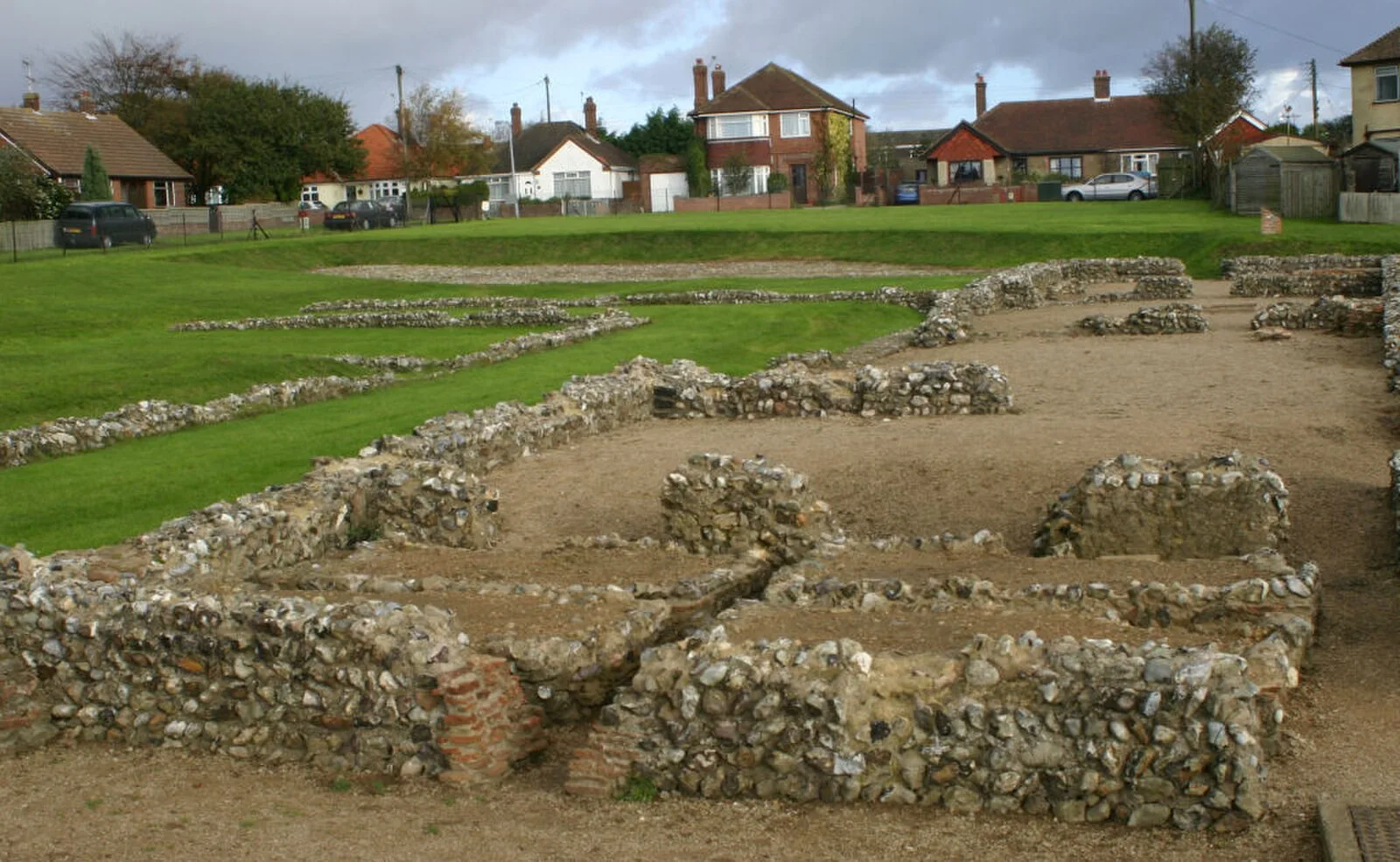
Also known as: Caister on Sea, Caister-on-Sea (Kastell), Caister Roman Fort, castra de Caister-on-Sea, Castra of Caister-on-Sea, castrum de Caister, castrum de Gariannonum, Castrum Gariannonum, Forte romano di Caister, Fuerte romano de Caister, Kastell Caister-on-Sea, 開斯特羅馬兵營
| Type | Fortress/citadel |
|---|---|
| Period | 1 - 500 AD |
| Country | England |
| Coordinates | 52.6502° N, 1.7193° E |