
 England
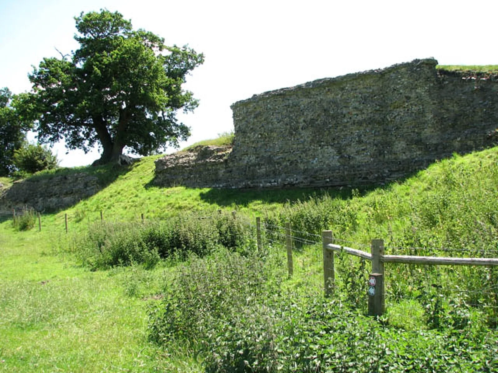
Venta Icenorum was the civitas or capital of the Iceni tribe, located at modern-day Caistor St Edmund in the English county of Norfolk [1]. The town itself was probably laid out, and its first streets metalled, in approximately the first half of the second century [1]. The town, which is mentioned in both the Ravenna Cosmography and the Antonine Itinerary, was a settlement near the village of Caistor St. Edmund, some 5 miles south of present-day Norwich [1]. The site lies on the River Tas [1]. In 1928, an aerial reconnaissance flight of a farm near Caistor St Edmund rediscovered the ruins of Venta Icenorum [1]. A five-year archaeological dig soon followed, led by archaeologist Donald Atkinson [1]. The site subsequently remained uninvestigated until the University of Nottingham reopened it in 2009 seeking Iron Age (Iceni) structures beneath the town [1]. The evidence uncovered revealed that the site was not established on a previous Iron Age town, but was a newly built and sparsely populated frontier town focused on administration and trade [1].
Text: Wikipedia – 'Venta Icenorum' (revision of 2026-04-18), CC BY-SA 4.0 · sentences selected and shortened by an AI system · source →Venta Icenorum
Also known as: Venta dos Icenos, فينتا آيسينوروم, 文塔伊森诺龙, 温塔爱西尼拉姆
| Type | City/town/settlement |
|---|---|
| Period | 1 - 500 AD |
| Country | England |
| Coordinates | 52.5836° N, 1.2909° E |