
 England
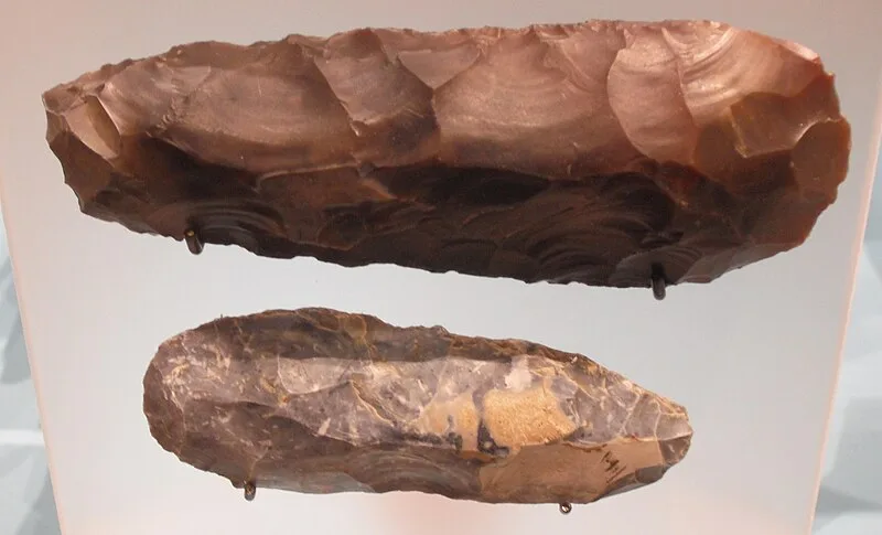
Burnt Fen is an area of low-lying land crossed by the A1101 road between Littleport in Cambridgeshire and Mildenhall in Suffolk [1]. It is surrounded on three sides by rivers, and consists of prime agricultural land [1]. Burnt Fen is located near the eastern borders of the Isle of Ely, Cambridgeshire, although parts of it are also located in Suffolk and Norfolk [1]. The area shows a remarkable amount of archaeological findings of the Mesolithic period [1].
Text: Wikipedia – 'Burnt Fen' (revision of 2026-07-22), CC BY-SA 4.0 · sentences selected and shortened by an AI system · source →Burnt Fen
| Type | Archaeological site |
|---|---|
| Period | 3000 - 1500 BC |
| Country | England |
| Coordinates | 52.4600° N, 0.3600° E |