
 England
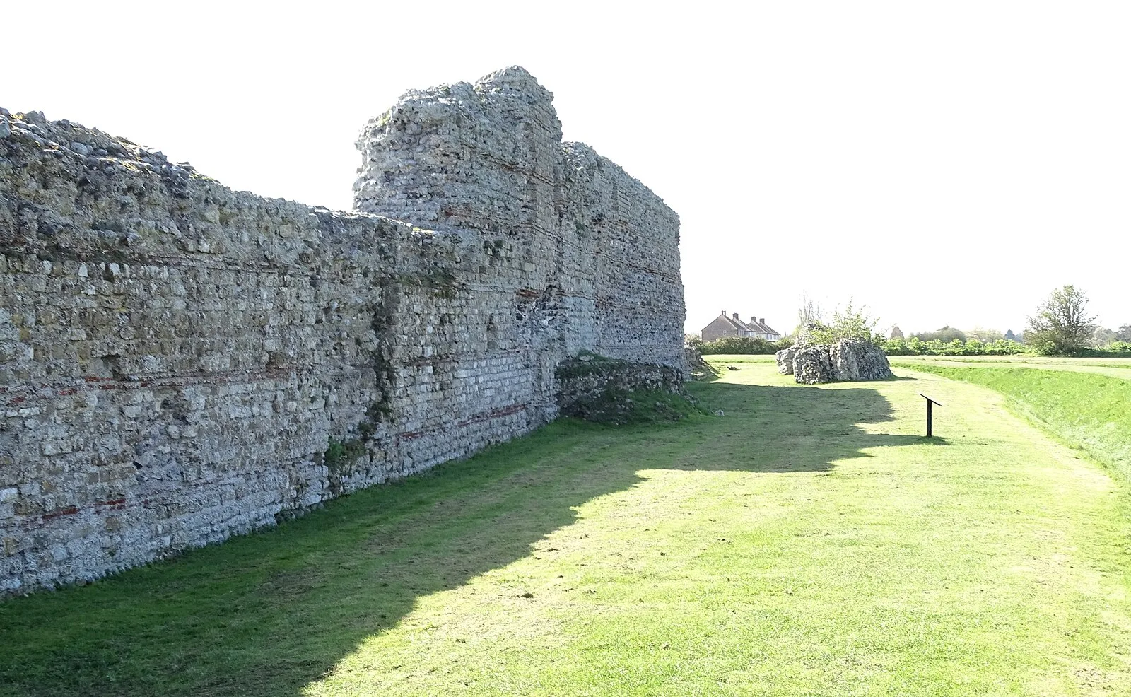
Richborough Castle is a Roman Saxon Shore fort better known as Richborough Roman Fort [1]. It is situated in Richborough near Sandwich [1]. Substantial remains of the massive fort walls still stand to a height of several metres [1]. It is part of a larger Roman town called Rutupiae or Portus Ritupis that developed around the fort and the associated port [1]. The settlement was founded after the Roman conquest of Britain in AD 43 [1]. Earth fortifications were first dug on the site in the 1st century, probably for a storage depot and bridgehead for the Roman army [1]. The site expanded into a major civilian and commercial town, and the stone Saxon Shore fort was added around the year 277 [1]. The later fort is believed to have been constructed by the rebel Carausius [1].
Text: Wikipedia – 'Richborough Castle' (revision of 2026-09-21), CC BY-SA 4.0 · sentences selected and shortened by an AI system · source →Richborough Castle
Also known as: fort romain de Richborough, Kastell Rutupiae, Richborough Roman Fort, římská pevnost v Richborough, Rutupiae, Rutupije, قلعة ريتشبورو, 里奇伯勒城堡, 里奇伯勒堡, 魯特皮埃
| Type | Fortress/citadel |
|---|---|
| Period | 1 - 500 AD |
| Country | England |
| Coordinates | 51.2941° N, 1.3319° E |