
 England
The Peddars Way is a long distance footpath that passes through Suffolk and Norfolk, England [1]. The Peddars Way is 46 miles long and follows the route of a Roman road [1]. The name-type, which recurs in medieval records from other parts of East Anglia, derives from Middle English pedder, meaning an itinerant trader [1]. It is first mentioned on a map of 1587 AD [1]. It starts at Knettishall Heath in Suffolk (near the Norfolk-Suffolk border, about 7 km or 4 mi east of Thetford), and it links with the Norfolk Coast Path at Holme-next-the-Sea [1].
Text: Wikipedia – 'Peddars Way' (revision of 2026-09-04), CC BY-SA 4.0 · sentences selected and shortened by an AI system · source →Peddars Way
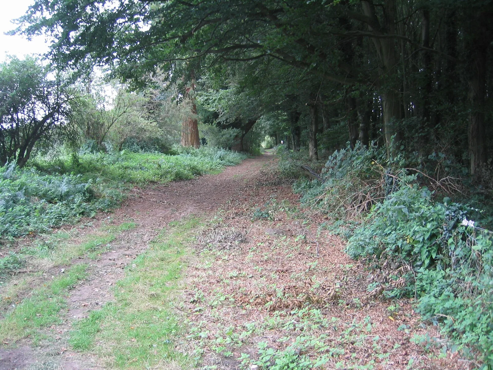
Also known as: Norfolk Coast Path, Peddars Way & Norfolk Coast Path, ペダーズ・ウェイ, 佩達斯之路
| Type | Road/avenue/trackway |
|---|---|
| Period | 1 - 500 AD |
| Country | England |
| Coordinates | 52.7200° N, 0.6786° E |