
 England
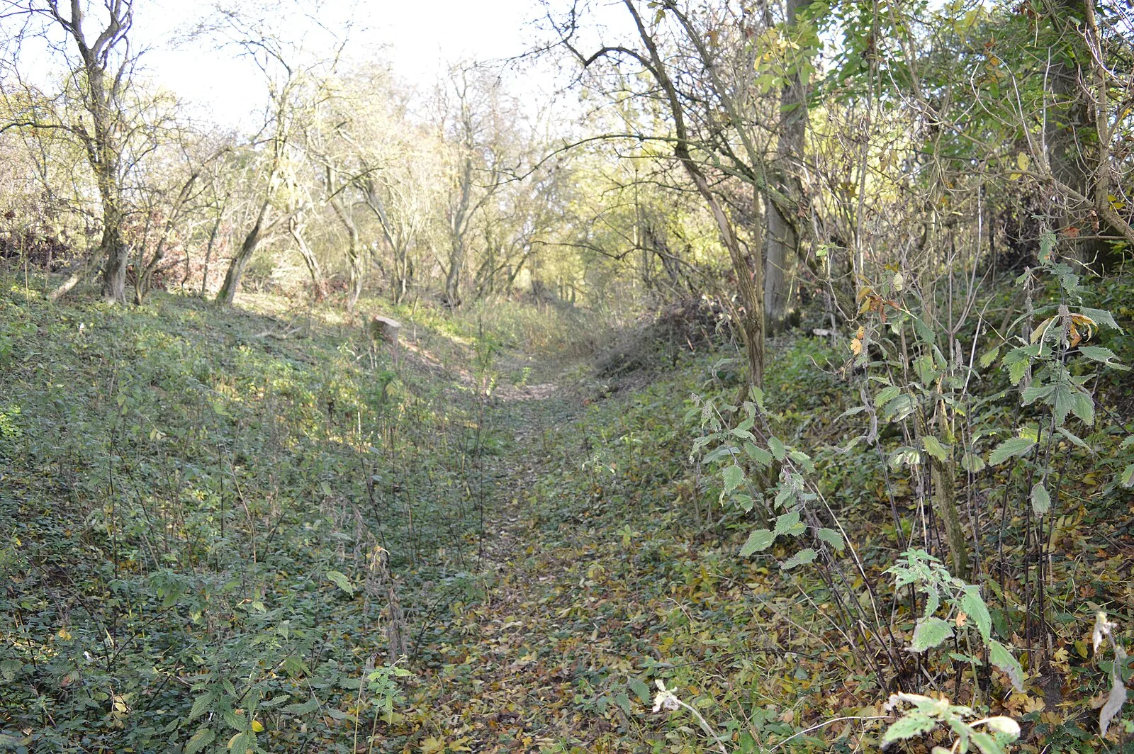
Mowsbury Hill is a 2.8 hectare Local Nature Reserve and Scheduled Monument in north Bedford [1]. Archaeological excavation has shown that the site is a univallate hillfort, and pottery dates to the early Iron Age, occupied for a limited period [1]. In medieval times it was a moated settlement with two fishponds in the Manor of Morinsbury [1].
Text: Wikipedia – 'Mowsbury Hill' (revision of 2026-02-25), CC BY-SA 4.0 · sentences selected and shortened by an AI system · source →Mowsbury Hill
Also known as: Mowsbury Tepesi
| Type | Fort |
|---|---|
| Period | 1500 - 500 BC |
| Country | England |
| Coordinates | 52.1674° N, 0.4421° W |