
 Wales
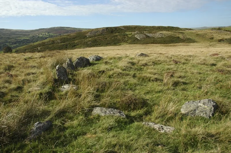
WalesCaer Euni is an Iron Age hillfort in Gwynedd, Wales, situated on a narrow ridge about 4 km north-east of Llandderfel and 8 km north-east of Bala Lake [1]. The elongated enclosure measures roughly 216 m by 58 m, oriented north-east to south-west along the ridge. A rampart encloses the inner area, with a steep unbroken slope on the south-eastern side providing natural defence [2]. The fort shows evidence of enlargement during its occupation, and vitrified stone has been identified in the south-western rampart, indicating possible ancient burning [2]. The site offers panoramic views across the surrounding landscape [2].
Caer Euni
| Type | Fortress/citadel |
|---|---|
| Period | 1500 - 500 BC |
| Country | Wales |
| Coordinates | 52.9599° N, 3.4892° W |