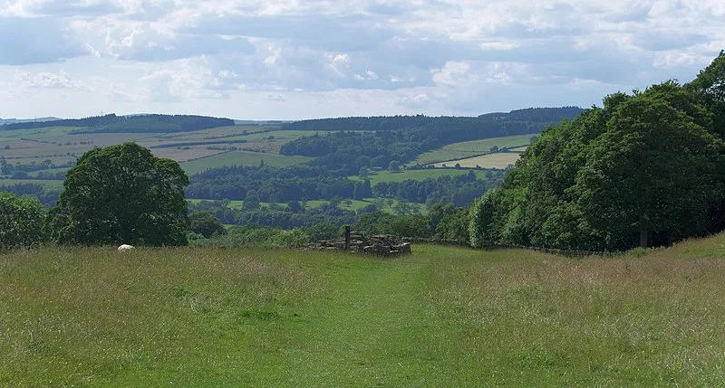
Planetrees - Hadrian's Wall Section

Planetrees - Hadrian's Wall Section
mattbuck (category) · CC BY-SA 4.0

(2nd c. AD) Planetrees is an extant section of Hadrian's Wall named after the farm located around 250 metres (820 ft) to the west [1]. The surviving section is 35 metres (115 ft) in length [1]. The eastern part (approximately 20 metres/66 ft) is built as Broad Wall, 10 Roman Feet wide, while the western section (approximately 15 metres/49 ft) uses Narrow Wall construction at 8 Roman Feet wide, yet still on foundations originally installed for a Broad Wall.

TypeWall
Period1 - 500 AD
CountryEngland
Coordinates55.0212° N, 2.1124° W

Stories about Planetrees - Hadrian's Wall Section

Related resources

More sites in England

Hadrian's Wall Path · Chesters Bridge · Cilurnum · Dere Street · Limestone Corner · Coria, Corbridge · Corbridge Lion · Devil's Causeway · Hunnum · Coventina · Carrawburgh · Habitancum · The Goatstones · Hadrian's Wall · Turret - Hadrian's Wall · Stanegate · Knag Burn Gateway · Housesteads Roman Fort · Shaftoe Crags Settlement · The Poind and his Man · Vindolanda · Huckhoe Settlement · Slate Hill Settlement · Rudchester Mithraeum

All sites in England

Was this page useful?

Keep exploring

Every site on this page sits on the globe, and the people who research them are on the Discord.

3D Globe · Sites by country · Story Archive · Research Library · Weekly Journal · Search