
 England
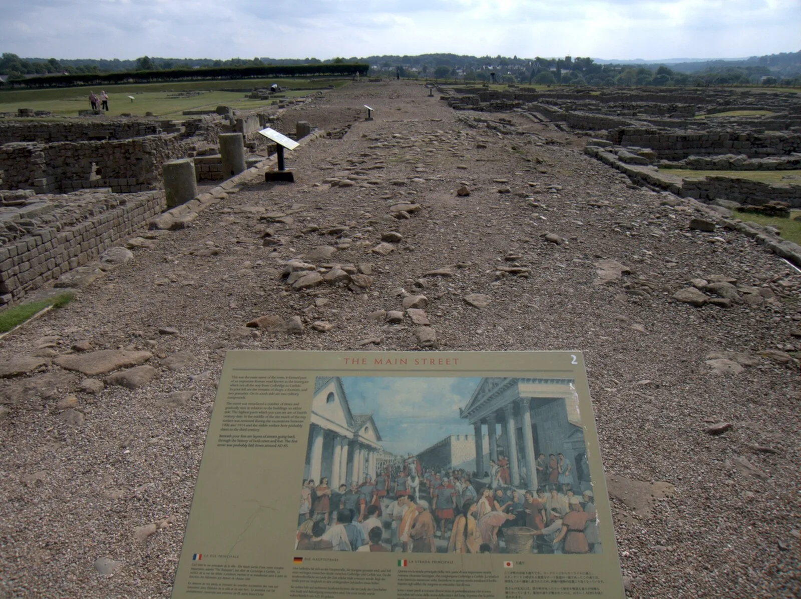
The Stanegate (meaning "stone road" in Northumbrian dialect) was an important Roman road and early frontier built in what is now northern England [1]. It linked many forts including two that guarded important river crossings: Corstopitum (Corbridge) on the River Tyne in the east (situated on Dere Street) and Luguvalium (Carlisle) on the River Eden in the west [1]. The Stanegate ran through the natural gap formed by the valleys of the River Tyne in Northumberland and the River Irthing in Cumbria [1]. It predated the Hadrian's Wall frontier by several decades; the Wall would later follow a similar route, albeit slightly to the north [1]. The Stanegate is believed to have been built under the governorship of Agricola, from 77 to 85 AD, during the reigns of the emperors Vespasian, Titus, and Domitian [1]. When the Romans decided to withdraw from Scotland starting from around 87 AD, the line of the Stanegate gradually became the new frontier and it became necessary to provide forts at half-day marching intervals [1].
Text: Wikipedia – 'Stanegate' (revision of 2025-07-16), CC BY-SA 4.0 · sentences selected and shortened by an AI system · source →Stanegate
Also known as: استنگیت, 羅馬道路 - 石路
| Type | Road/avenue/trackway |
|---|---|
| Period | 1 - 500 AD |
| Country | England |
| Coordinates | 55.0053° N, 2.2827° W |