
 England
Hadrian's Wall is a former defensive fortification of the Roman province of Britannia, begun in AD 122 in the reign of the Emperor Hadrian [1]. Running from Wallsend on the River Tyne in the east to Bowness-on-Solway in the west of what is now northern England, it was a stone wall (in its final version) with large ditches in front and behind, stretching across the whole width of the island [1]. Soldiers were garrisoned along the line of the wall in large forts, smaller milecastles, and intervening turrets [1]. Almost all the standing masonry of the wall was removed in early modern times and used for local roads and farmhouses [1]. The length of the wall was 80 Roman miles, equivalent to 73 modern miles or 117 kilometres [1]. On completion, only three-fifths of the wall was built from stone; the remaining western section was a turf wall, later rebuilt in stone [1].
Text: Wikipedia – 'Hadrian's Wall' (revision of 2026-09-12), CC BY-SA 4.0 · sentences selected and shortened by an AI system · source →Hadrian's Wall
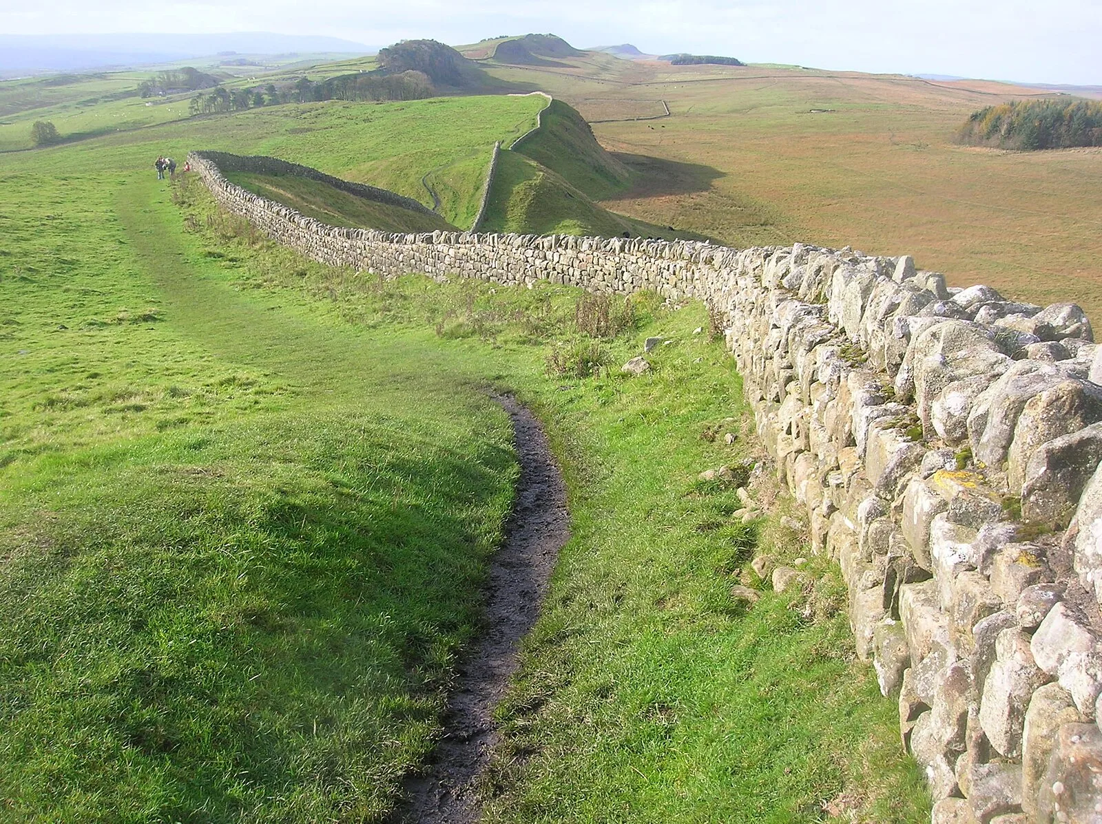
Also known as: 하드리아누스 방벽, Adriāna valnis, Adrian divarı, Adriano siena, Balla Haidrian, Dêsê Hadriani, Hadrian Duvarı, Hadrianmuren, Hadrianoren Harresia, Hadriano siena, Hadriánov val, Hadrians mur
| Type | Wall |
|---|---|
| Period | 1 - 500 AD |
| Country | England |
| Coordinates | 55.0173° N, 2.2826° W |