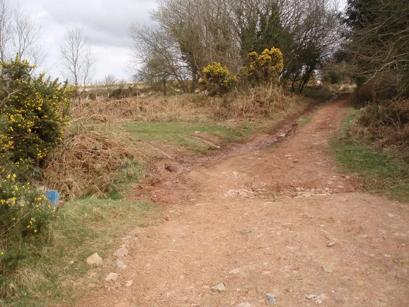
Rodhuish Common

Rodhuish Common
Barbara Cook · CC BY-SA 2.0

A small oval Iron Age earthwork enclosure on the steep southeast-facing slopes of Rodhuish Common in Somerset, England. The enclosure measures 31.7 m north-south by 28.3 m east-west, defined by a stony bank averaging 0.6 m high, with a 1.7 m cut into the natural slope on the western side. A possible entrance is visible on the north side. Designated as a Scheduled Monument in 2003 (ref. 1021122), the site may be associated with a hillfort 450 m away at Monkslade Common. Listed on Historic England's Heritage at Risk register.

TypeEarthwork
Period1500 - 500 BC
CountryEngland
Coordinates51.1436° N, 3.4323° W

Related resources

More sites in England

Bat's Castle · Long Wood Enclosure · Black Ball Camp · Grabbist Hillfort · Clatworthy Camp · Battlegore Burial Chamber · Elworthy Barrows · East Myne · Bury Castle, Selworthy · Winsford, Somerset · Curdon Camp · Clayhanger, Devon · Dunkery Beacon - Dunkery Hill · Castles Camp · Sweetworthy · Oldberry Castle · Trendle Ring · Huntsham Castle · King's Castle, Wiveliscombe · Mounsey Castle · Brewer's Castle · Road Castle · Berry Castle, Somerset · Castle Close

All sites in England

Was this page useful?

Keep exploring

Every site on this page sits on the globe, and the people who research them are on the Discord.

3D Globe · Sites by country · Story Archive · Research Library · Weekly Journal · Search