Mynydd Illtud

Mynydd Illtud
PicturePrince · CC BY-SA 4.0

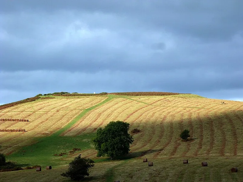
Mynydd Illtud is an extensive area of common land in the Brecon Beacons National Park, Powys, Wales, located approximately 4.8 km (3 mi) south-west of Brecon[1]. The undulating plateau sits between 330 and 370 metres above sea level, with its highest points at 381 metres at Allt Lom and 367 metres at Twyn y Gaer trig point overlooking the River Usk valley[1]. Twyn y Gaer contains the remains of an Iron Age hill fort dating to roughly 1500-500 BC, representing a significant prehistoric defensive settlement in the region[1].

TypeFortress/citadel
Period1500 - 500 BC
CountryWales
Coordinates51.9281° N, 3.4901° W

Related resources

More sites in Wales

Pen-y-crug · Maen Llia · Slwch Tump · Allt yr Esgair · Llyn Fawr · Foel Chwern · Castell Dinas · Gilwern Hill, Powys · Mynydd Maendy · Crug Hywel · Y Garn Goch · Buarth-y-Gaer · Craig Ty-Isaf · Llwynda-Ddu Camp · Gaer, Black Mountains · Dolaucothi Gold Mines · Twmbarlwm · Tinkinswood · Caerau Hillfort · St Lythans Burial Chamber · Burfa Castle · Dinas Powys Hillfort · The Bulwarks, Porthkerry · Cefn Carnedd

All sites in Wales

Was this page useful?

Keep exploring

Every site on this page sits on the globe, and the people who research them are on the Discord.

3D Globe · Sites by country · Story Archive · Research Library · Weekly Journal · Search