
 Wales
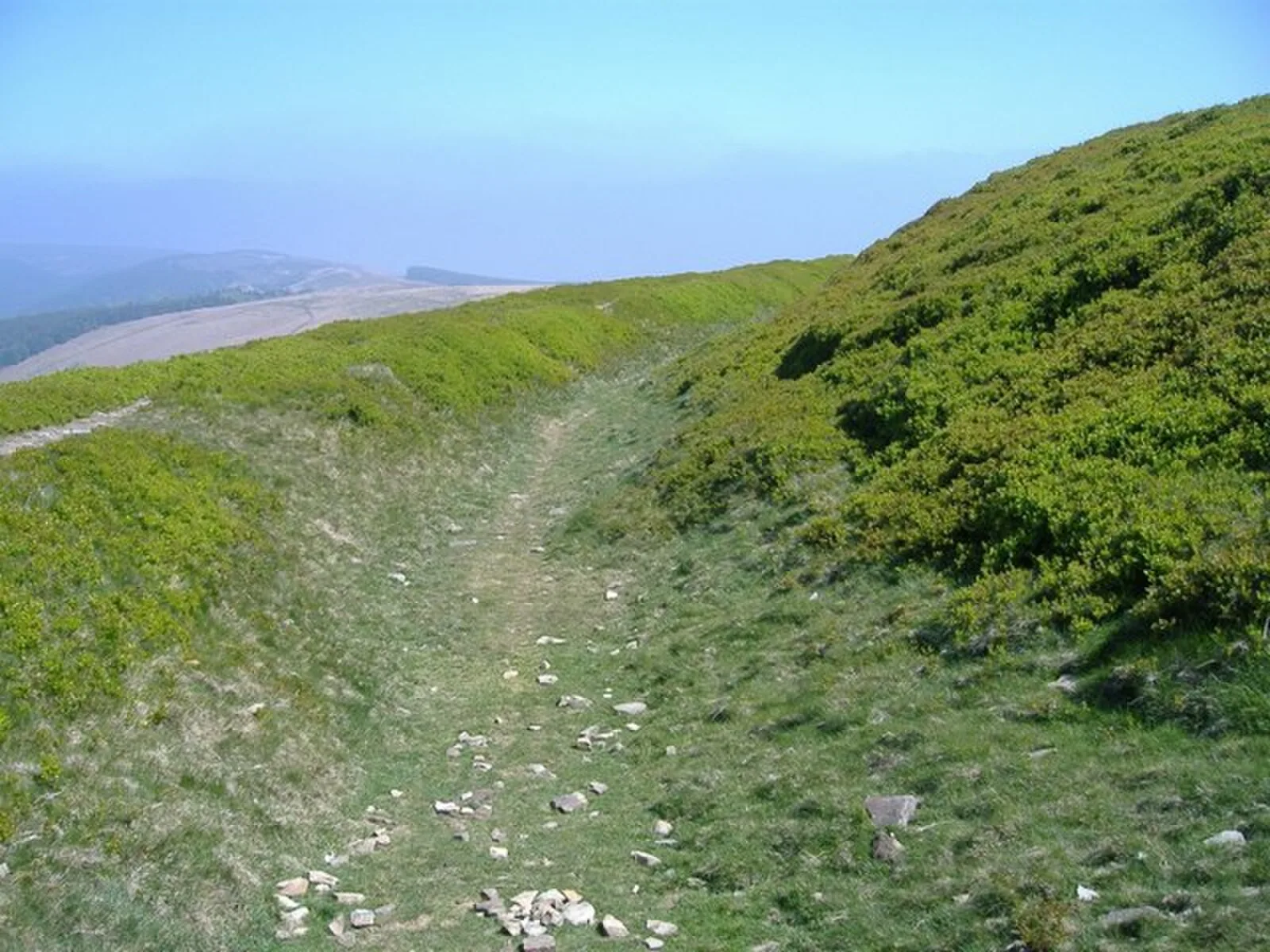
WalesTwmbarlwm, also known as Twm Barlwm, Twyn Barlwm or locally known as "the Twmp", the Nipple or the Pimple because of the mound that lies at its summit, is a hill situated 2 km to the northeast of Risca in South Wales [1]. It is 419 m high and is a well-known landmark throughout the region [1]. At the top of the hill, near its summit, are the remains of what is presumed to be an Iron Age hillfort, believed to have been built by the Silures, the Celtic tribe that inhabited the area before and during Roman times [1]. These remains have led the local people of Risca and Cwmcarn to call it "The Tump" [1]. There was also thereafter possibly a Roman signal point and a substantial Norman motte-and-bailey castle which is incorporated into the eastern end of the fort, probably of early Norman construction [1].
Text: Wikipedia – 'Twmbarlwm' (revision of 2026-08-16), CC BY-SA 4.0 · sentences selected and shortened by an AI system · source →Twmbarlwm
Also known as: Twm Barlwm, Twmbarlwm Hillfort and Castle, جبل تومبارلوم, トゥムバルルム
| Type | Fortress/citadel |
|---|---|
| Period | 500 BC - 1 AD |
| Country | Wales |
| Coordinates | 51.6274° N, 3.0963° W |