
 Wales
WalesFoel Chwern is a Round cairn on the edge of the high plateau east of the Neath valley, and near the summit of Craig y Llyn [1]. The headwaters of the River Rhondda are to the south-west [1]. It is a burial monument dating to the Bronze Age, and is sited on the edge of a steep scarp slope, with a wide field of view to the north [1]. The cairn is a mound roughly 8 metres across and 0.4 metres high, made up of small stones [1]. The visible ones appear to be slabs of the locally occurring sandstone, although much of the mound is grass covered, so most stones are obscured and the edge is very indistinct [1]. In 1977 the mound was reported to have received some damage during 20th century forestry activity, and received a partial excavation around this time, which confirmed its size, but revealed neither any burials nor any other finds [1]. The cairn is a Scheduled Monument [1].
Text: Wikipedia – 'Foel Chwern' (revision of 2026-07-18), CC BY-SA 4.0 · sentences selected and shortened by an AI system · source →Foel Chwern
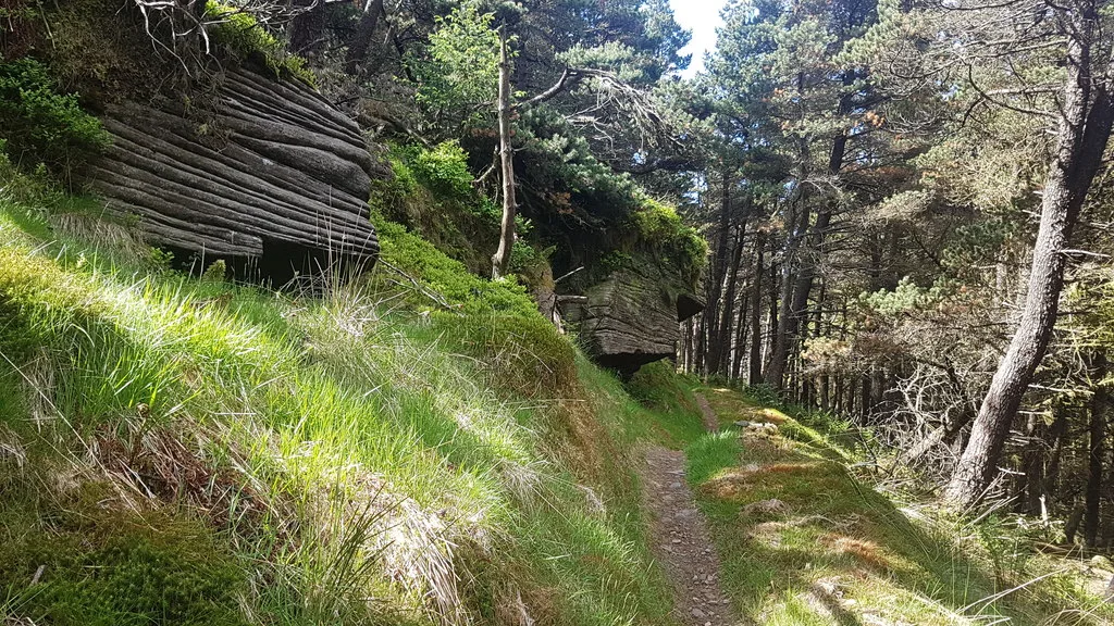
Also known as: Carnedd gron Foel Chwern, Foel Chwern Round Cairn
| Type | Cairn |
|---|---|
| Period | 4500 - 3000 BC |
| Country | Wales |
| Coordinates | 51.7229° N, 3.5963° W |