
 Wales
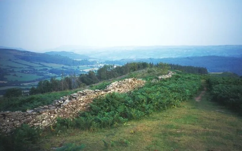
WalesAllt yr Esgair is a hill in the Brecon Beacons National Park in Powys [1]. It is commonly referred to locally as simply 'The Allt' [1]. The Welsh name signifies 'wooded slope of the ridge' [1]. It takes the form of a northwest-southeast aligned ridge which rises to a height of 393m and which overlooks the valley of the River Usk to the west and south [1]. Allt yr Esgair's summit is crowned by an Iron Age hillfort, one of several in the Usk Valley [1]. The Roman road between the Roman fort of CICVCIVM at Y Gaer, Brecon and Gobannium at Abergavenny runs along the ridge and is followed by a modern-day bridleway [1].
Text: Wikipedia – 'Allt yr Esgair' (revision of 2025-04-03), CC BY-SA 4.0 · sentences selected and shortened by an AI system · source →Allt yr Esgair
Also known as: جبل الت ير اسجاير
| Type | Fort |
|---|---|
| Period | 1500 - 500 BC |
| Country | Wales |
| Coordinates | 51.9113° N, 3.2721° W |