
 Wales
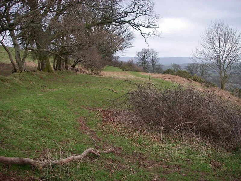
WalesSlwch Tump, also known as Slwch Camp and formerly known as Pen Cevn-y-Gaer, is an Iron Age hillfort close to Brecon in Powys [1]. The enclosure is located on a hill composed of sandstones of the St Maughans Formation with an elevation of 807 ft, about 0.8 miles east of the confluence of the Rivers Usk and Honddu in the centre of Brecon [1]. The hillfort is smaller than the one on nearby Pen-y-crug and is irregular but roughly rectangular in shape, measuring about 187 m by 242 m [1]. Within the hillfort area there are remains of abandoned quarries for building stone [1]. A small church stood for some time at Slwch Tump, marking the place where Saint Eluned was supposedly beheaded [1].
Text: Wikipedia – 'Slwch Tump' (revision of 2026-07-19), CC BY-SA 4.0 · sentences selected and shortened by an AI system · source →Slwch Tump
Also known as: Bryngaer Slwch, Ginger Wall, Slwch Camp
| Type | Fortress/citadel |
|---|---|
| Period | 1500 - 500 BC |
| Country | Wales |
| Coordinates | 51.9462° N, 3.3748° W |