
 Wales
WalesGaer is the name of a hill in the Black Mountains of the Brecon Beacons National Park in Monmouthshire [1]. It lies at the southern end of the long ridge between the valley of the Grwyne Fawr and the Vale of Ewyas, one mile north of Bryn Arw and three miles northeast of Sugarloaf [1]. Its summit, at 427m above sea level, sits within an Iron Age hillfort known as Twyn y Gaer [1].
Text: Wikipedia – 'Gaer (Black Mountains)' (revision of 2024-10-17), CC BY-SA 4.0 · sentences selected and shortened by an AI system · source →Gaer, Black Mountains
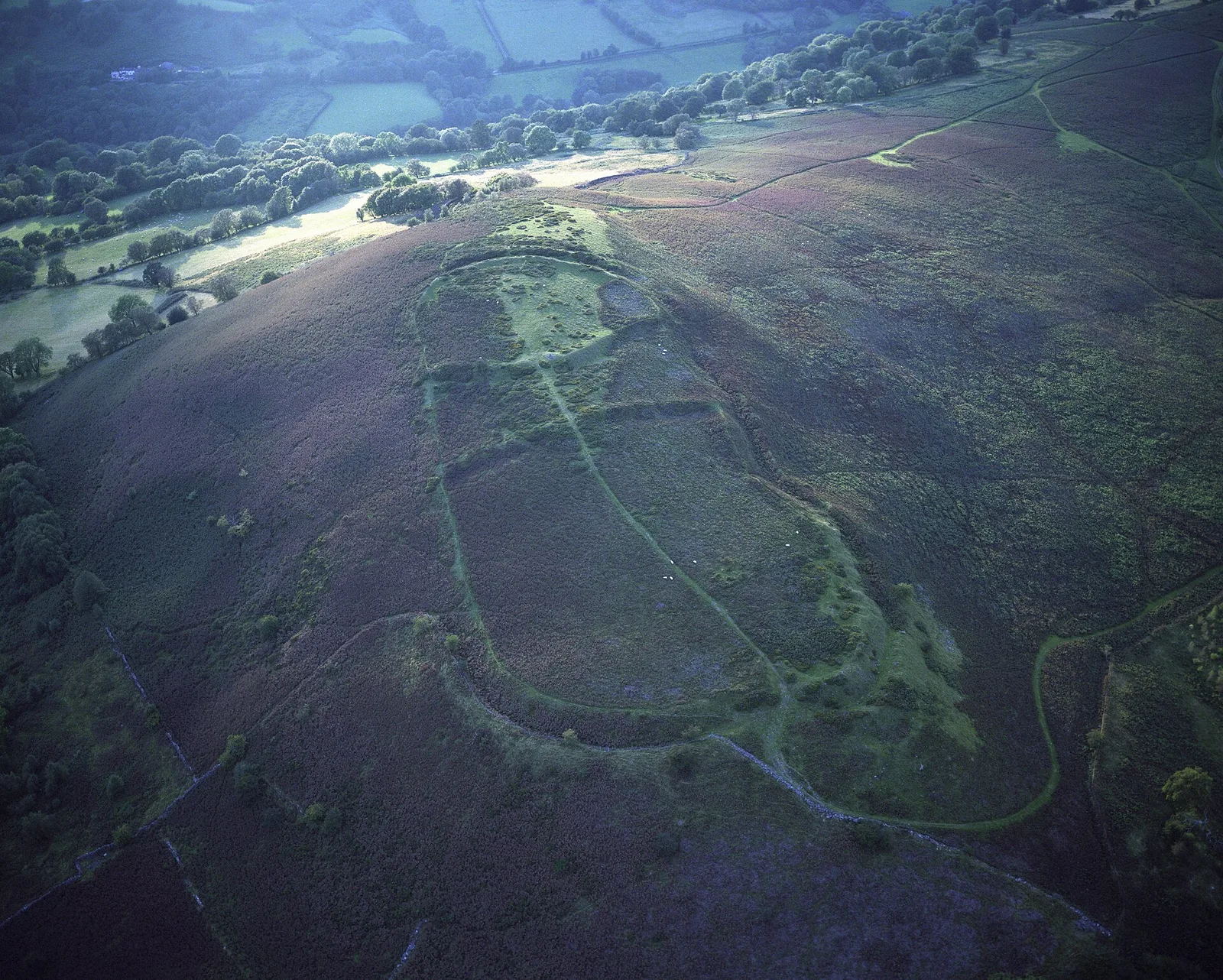
Also known as: Gaer, Gaer (Black Mountains), Twyn-y-Gaer
| Type | Fort |
|---|---|
| Period | 500 BC - 1 AD |
| Country | Wales |
| Coordinates | 51.8917° N, 3.0280° W |