
 Wales
WalesCrug Hywel is an Iron Age Celtic hillfort, with a clearly visible earth and stone ditch and rampart [1]. The name is sometimes given to the flat-topped hill itself, which is also called Table Mountain in English [1]. Located at the southern edge of the Black Mountains in south-east Wales, it rises to 451 m above sea level, from the southern flank of Pen Cerrig-calch, and overlooks the town of Crickhowell, whose name derives from Crug Hywel [1]. The Welsh name Mynydd y Begwn is also used for this summit [1]. The hill is formed from Old Red Sandstone originating in the Devonian period, specifically the sandstones of the Brownstones Formation, topped by rocks of the Quartz Conglomerate Group [1].
Text: Wikipedia – 'Crug Hywel' (revision of 2026-05-23), CC BY-SA 4.0 · sentences selected and shortened by an AI system · source →Crug Hywel
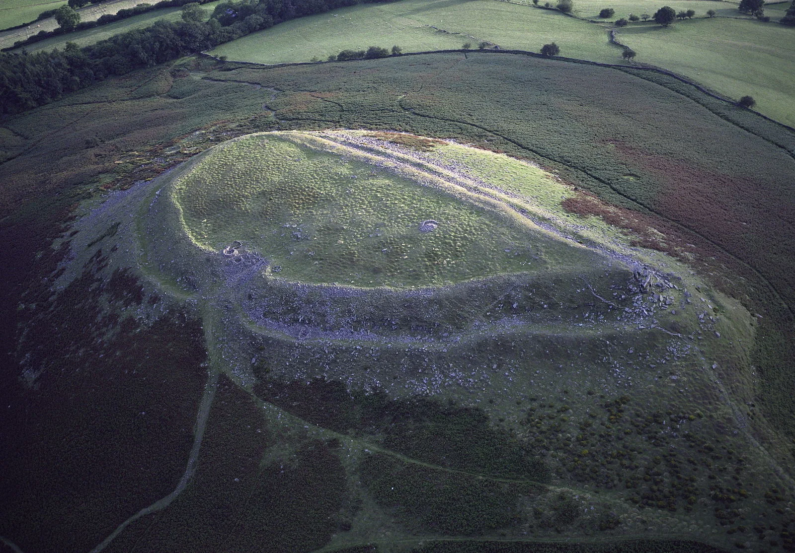
Also known as: Crucywel, جبل كروج هيويل
| Type | Fortress/citadel |
|---|---|
| Period | 1500 - 500 BC |
| Country | Wales |
| Coordinates | 51.8796° N, 3.1272° W |