
 France
Following a sinuous path, at 85 km the aqueduct of the Gier is the longest known of the Roman aqueducts [1]. Leaving the uplands of the Massif du Pilat, department of the Loire, the aqueduct hugs the surface relief and crosses the department of the Rhone, passing through Mornant, Orliénas, Chaponost and Sainte-Foy-lès-Lyon to terminate at Lyon [1]. In its extent, it draws upon the whole repertory of Roman techniques of aqueduct building, taking a slope that averages 0.1% [1]. There are 73 km of covered ditches laid with a concrete culvert 3 m high and 1.5 m wide [1]. The aqueduct passes through 11 tunnels, one of which, near Mornant, is 825 m in extent [1]. Four inverted siphon tunnels cross the particularly deep and wide river valleys of the Durèze, the Garon, the Yzeron and the Trion on pipe bridges raised on high arches [1]. The Gier aqueduct was built in a single great campaign, since no part of it could have served until it was completed; it must have taken years [1].
Text: Wikipedia – 'Aqueduct of the Gier' (revision of 2026-09-19), CC BY-SA 4.0 · sentences selected and shortened by an AI system · source →Aqueduct of the Gier
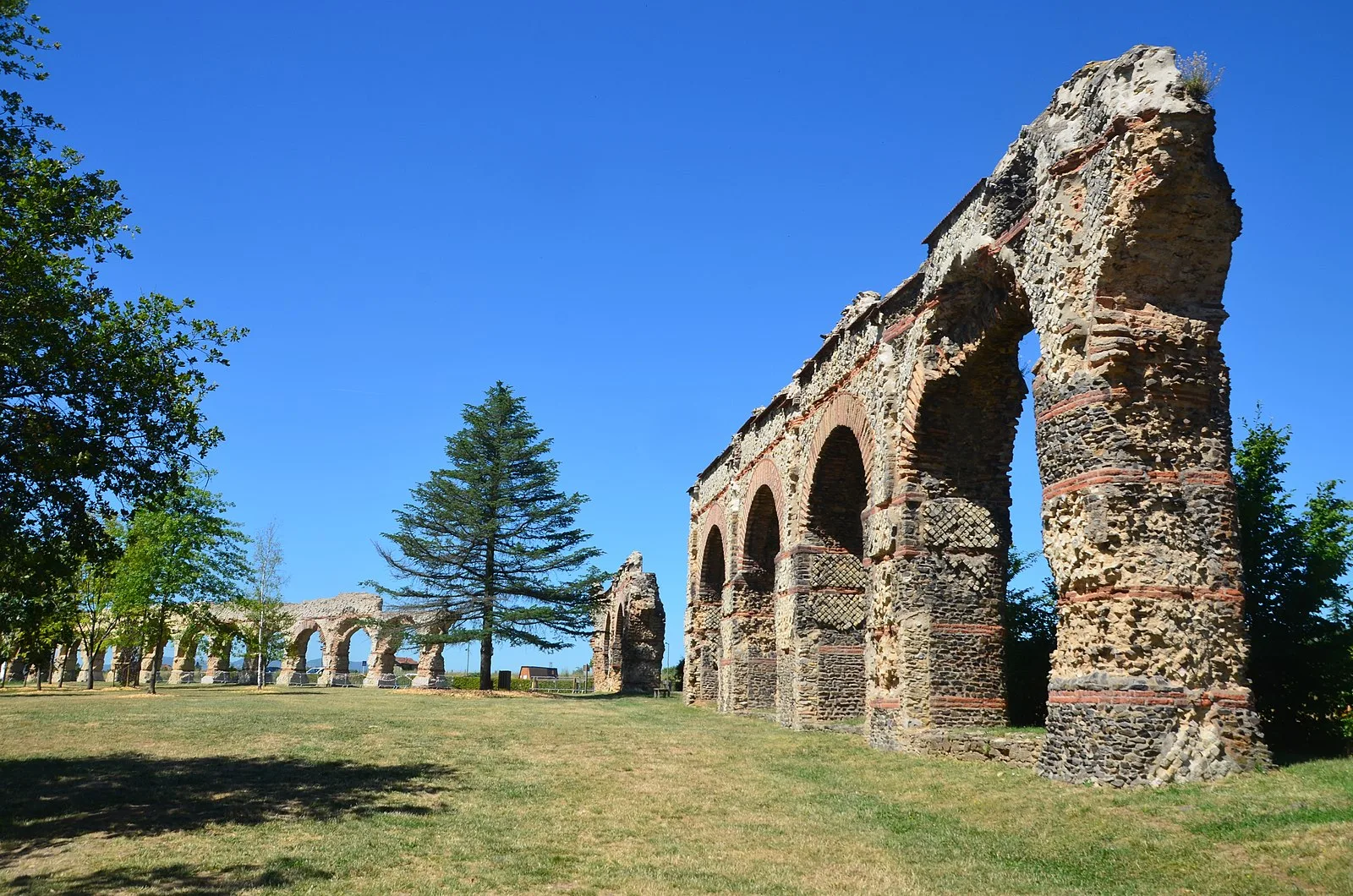
Also known as: acquedotto di Gier, acueducto del Gier, Aquädukt Gier, aqueduc du Gier, aqueduc du Mont Pilat, Aqüeducte de Gier, Giereko akueduktua, Gierski akvadukt, Gier Su Kemeri, Romeins aquaduct van de Gier, акведук Жьер, ジエ水道
| Type | Reservoir/aqueduct/canal |
|---|---|
| Period | 1 - 500 AD |
| Country | France |
| Coordinates | 45.7215° N, 4.7602° E |