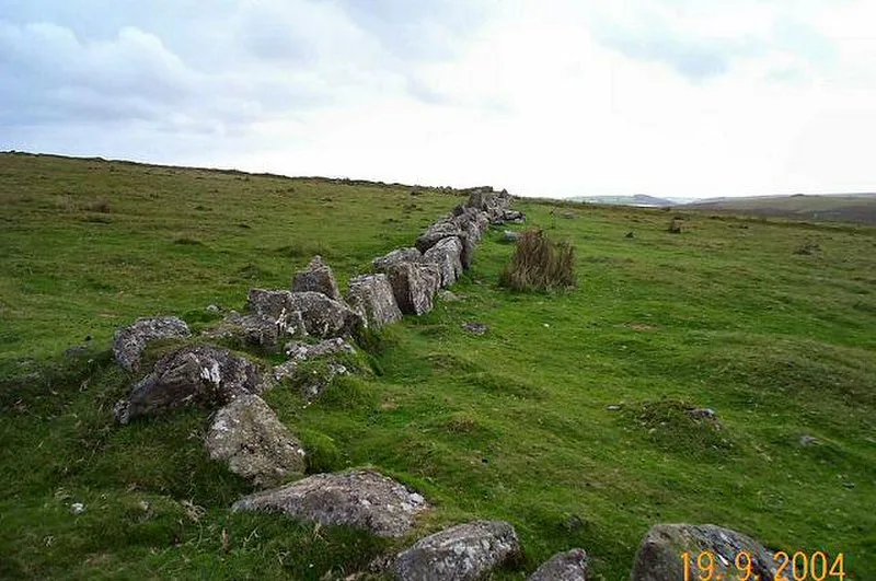
Upper Plym Valley

Upper Plym Valley
Richard Knights · CC BY-SA 2.0

The Upper Plym Valley is a 15.5 km² archaeological landscape on Dartmoor, Devon, England, containing approximately 300 prehistoric and medieval sites [1]. Notable prehistoric sites include the Drizzlecombe stone rows and cairns, while later features include Eylesbarrow Mine [1].

TypeCity/town/settlement
Period< 4500 BC
CountryEngland
Coordinates50.4791° N, 3.9880° W

Related resources

More sites in England

Drizzlecombe · Yellowmead Stone Circle · Brisworthy Stone Circle · Ringmoor Stone Row and Cairn Circle · Dewerstone · Stalldown Barrow · Boringdon Camp · Merrivale, Devon · Wasteberry Camp · Holbury, Holbeton · Brent Hill · Grey Wethers · Yellowberries Copse · Hembury Castle, Buckfast · Holne Chase Castle · Shovel Down · Grimspound · Scorhill Stone Circle · Yarrowbury · Blackdown Rings · Burley Wood · Hound Tor · Nine Maidens Stone Circle · Hundatorra

All sites in England

Keep exploring

Every site on this page sits on the globe, and the people who research them are on the Discord.

3D Globe · Sites by country · Story Archive · Research Library · Weekly Journal · Search