
 England
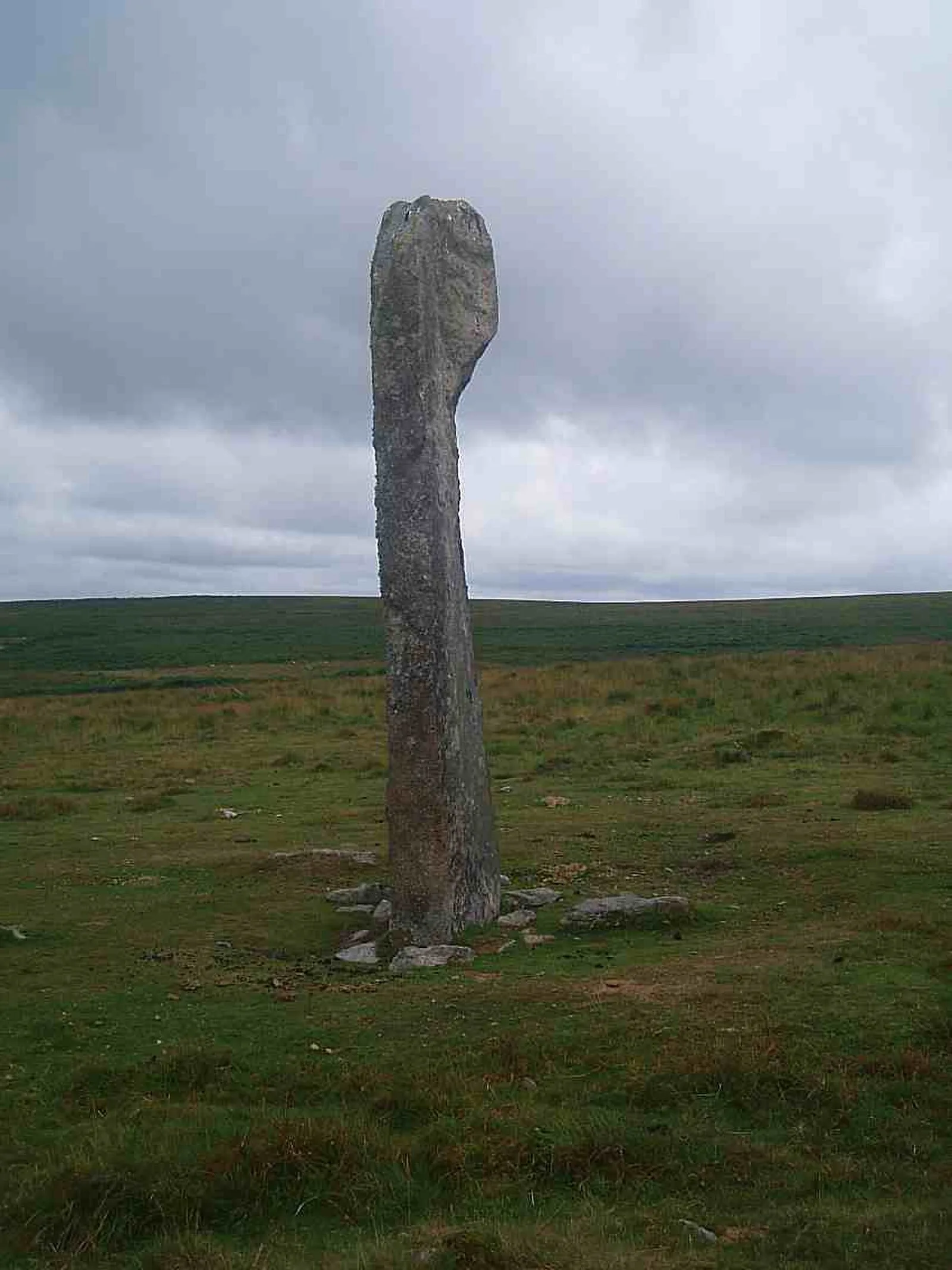
Drizzlecombe or Thrushelcombe is an area of Dartmoor in the county of Devon, England, containing a number of Bronze Age stone rows, cairns and menhirs [1]. There are three principal stone rows each with an associated barrow and terminal menhir [1]. Most of the artifacts are on the southwest slope of Hartor Hill [1]. The tallest menhir, which at 14 ft high is the largest on Dartmoor, was re-erected by Sabine Baring-Gould, R. Hansford Worth and others in 1893 [1]. Drizzlecombe is located on the western side of Dartmoor, about 4 miles east of the village of Yelverton, to the west of the upper reaches of the River Plym [1]. Nearby is the large but damaged cairn known as Giant's Basin; many of its stones were removed by warreners to build their rabbit-warrens at Ditsworthy, lower down the river [1]. Higher up the slope and overlooking these monuments is a village of stone hut circles [1].
Text: Wikipedia – 'Drizzlecombe' (revision of 2026-07-18), CC BY-SA 4.0 · sentences selected and shortened by an AI system · source →Drizzlecombe
| Type | Megalithic stones |
|---|---|
| Period | 4500 - 3000 BC |
| Country | England |
| Coordinates | 50.4861° N, 3.9850° W |