
 England
Brent Hill is an Iron Age hillfort near South Brent on Dartmoor, Devon, occupying a prominent summit at approximately 311 m above sea level [1] [2] [3] [4]. The fort survives as an irregularly shaped enclosure following the naturally steep, rocky hillside, enhanced by a partial rampart and ditch [4]. An extension of the rampart on the south-western side strengthens weaker natural defences [4].
Brent Hill
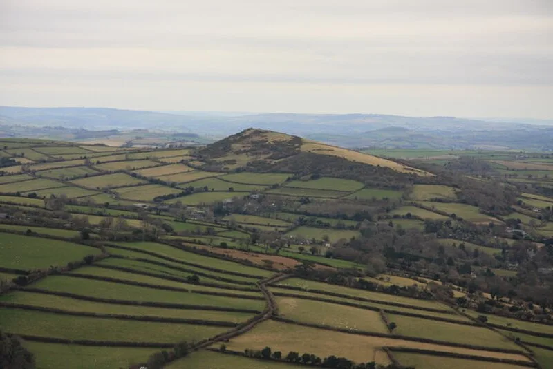
Also known as: Hillfort on Brent Hill
| Type | Fortress/citadel |
|---|---|
| Period | 1500 - 500 BC |
| Country | England |
| Coordinates | 50.4407° N, 3.8277° W |