
 England
Norsebury Ring is the site of an Iron Age univallate hillfort located in Hampshire [1]. A magnetometry survey in 1997 revealed two entrances (at the southeast and southwest) and found evidence to suggest that the site had a thriving Iron Age settlement [1]. Bronze Age and Roman pottery has also been found at the site [1]. The site is located at grid reference SU491401, and lies to the east of the village of Sutton Scotney, and to the west of the village of Micheldever, in the county of Hampshire [1]. Immediately to the south lies the River Dever [1]. The site lies just off to the western side of a shallow hill, at a level of approximately 100m AOD [1].
Text: Wikipedia – 'Norsebury Ring' (revision of 2026-07-18), CC BY-SA 4.0 · sentences selected and shortened by an AI system · source →Norsebury Ring
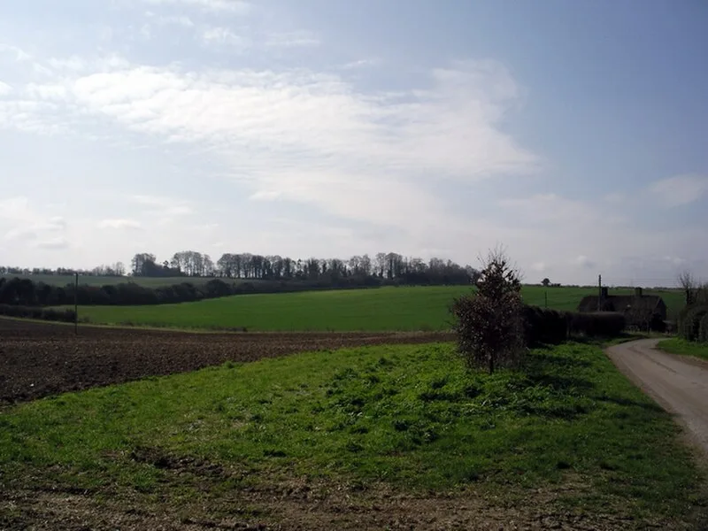
Also known as: Norsebury Ring Camp, Norsebury Ring hillfort
| Type | Fortress/citadel |
|---|---|
| Period | 1500 - 500 BC |
| Country | England |
| Coordinates | 51.1580° N, 1.2991° W |