
 England
Toothill Fort, or Toothill Ring, or Toothill camp, is the site of an Iron Age univallate hill fort located in Hampshire [1]. The site occupies an extremely strong position at the north end of a spur [1]. Its defences comprise a single rampart and ditch with traces of a counterscarp bank in places [1]. There is an additional scarp on the north side up to 2.0m in height where the site is weakest [1]. The name "Toot hill" literally means lookout hill [1]. The site is located at grid reference SU463429, and between the towns of Southampton and Romsey [1].
Text: Wikipedia – 'Toothill Fort' (revision of 2026-07-18), CC BY-SA 4.0 · sentences selected and shortened by an AI system · source →Toothill Fort
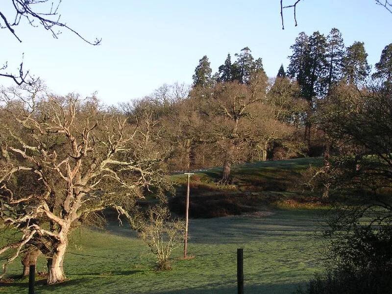
Also known as: Telegraph Wood, Toothill Camp, Toot Hill Camp
| Type | Fortress/citadel |
|---|---|
| Period | 1500 - 500 BC |
| Country | England |
| Coordinates | 50.9661° N, 1.4579° W |