
 England
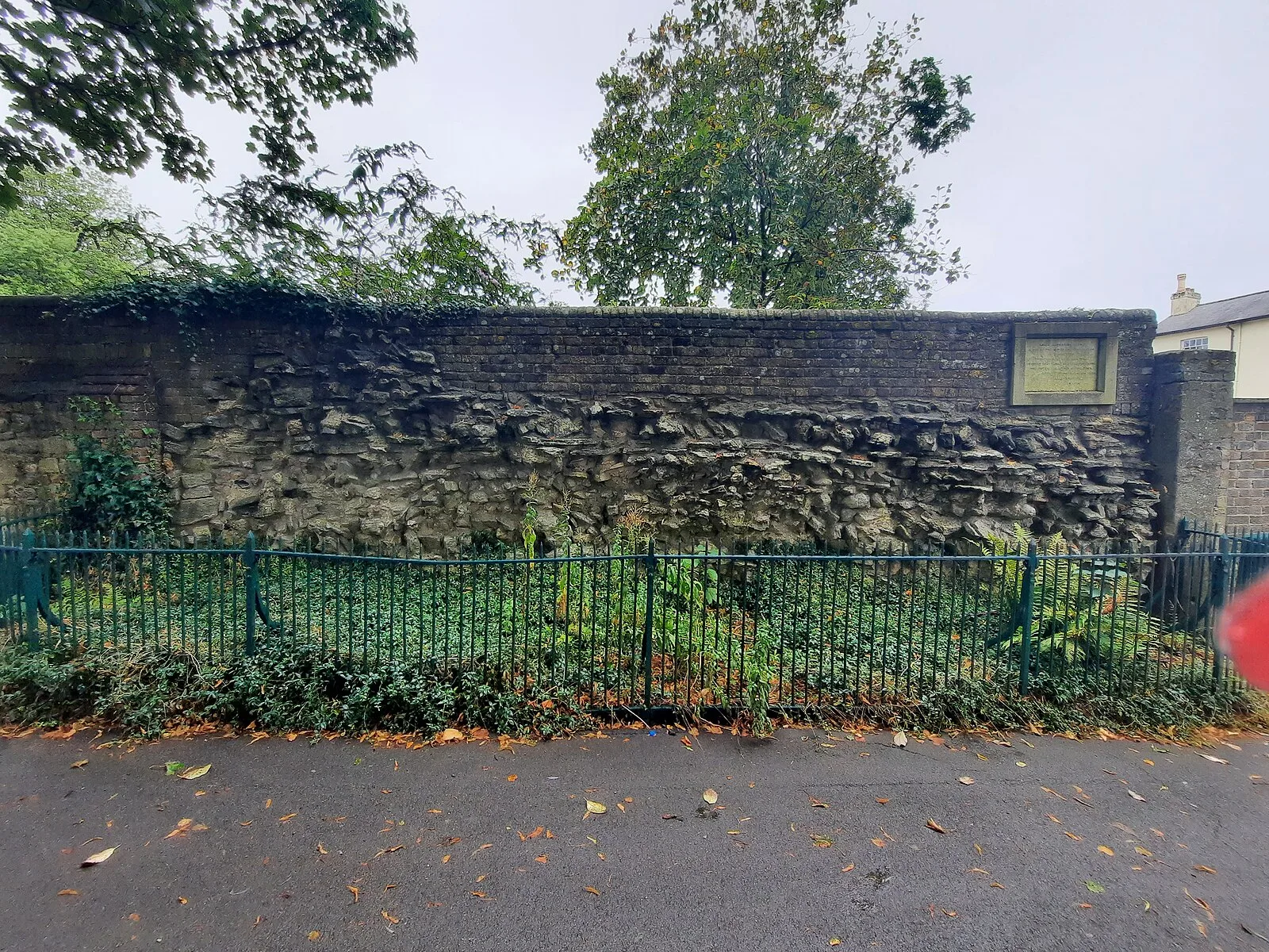
Durnovaria is a suggested spelling for the Latin form of the name of the Roman town of Dorchester in the modern English county of Dorset, amended from the actually observed Durnonovaria [1]. Around AD 65–70, Durnovaria became a civilian settlement, apparently the civitas Durotrigum of the tribal confederacy of the Durotriges [1]. An organised street plan was laid out, ignoring earlier boundaries, the streets lined with timber-slot structures; public buildings including thermae were erected and an artificial water supply established [1]. The town still has some Roman features, including part of the town walls and the foundations of a Roman town house [1]. The Romans built an aqueduct to supply the town with water [1]. Near the town centre is Maumbury Rings, an ancient British earthwork converted by the Romans for use as an amphitheatre, and to the north west is Poundbury Hill [1]. Part of a Roman road, known today as High West Street, exists underneath the Dorset Museum [1]. The road ran through the centre of Durnovaria [1].
Text: Wikipedia – 'Durnovaria' (revision of 2026-07-18), CC BY-SA 4.0 · sentences selected and shortened by an AI system · source →Durnovaria
Also known as: Roman Dorchester, دورنوفاريا
| Type | City/town/settlement |
|---|---|
| Period | 1 - 500 AD |
| Country | England |
| Coordinates | 50.7151° N, 2.4370° W |