
 England
Kingston Russell Stone Circle, also known as the Gorwell Circle, is a stone circle located between the villages of Abbotsbury and Littlebredy in the south-western English county of Dorset [1]. Archaeologists believe that it was likely erected during the Bronze Age [1]. The Kingston Russell ring is part of a tradition of stone circle construction that spread throughout much of Britain, Ireland, and Brittany during the Late Neolithic and Early Bronze Age, over a period between 3,300 and 900 BCE [1]. The site has not been excavated or been subject to in-depth archaeological investigation [1]. Kingston Russell is the largest surviving stone circle in Dorset [1]. The stones are arranged in an oval with a diameter measuring from 24 by 27 metres (79 by 89 feet) [1]. The ring consists of eighteen stones, the longest of which are located at the north of the circle [1]. As of 1939, all the stones were lying on the ground, although there is a record that in 1815 one stone on the southern side was still standing upright [1].
Text: Wikipedia – 'Kingston Russell Stone Circle' (revision of 2026-07-18), CC BY-SA 4.0 · sentences selected and shortened by an AI system · source →Kingston Russell Stone Circle
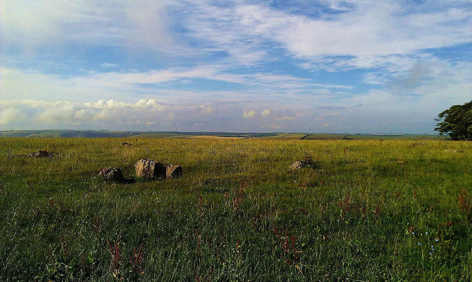
Also known as: Steinkreis von Kingston Russell, The Kingston Russell stone circle 750m north east of Gorwell Farm, 金斯頓·羅素石圈
| Type | Stone circle |
|---|---|
| Period | 4500 - 3000 BC |
| Country | England |
| Coordinates | 50.6888° N, 2.5989° W |