
 England
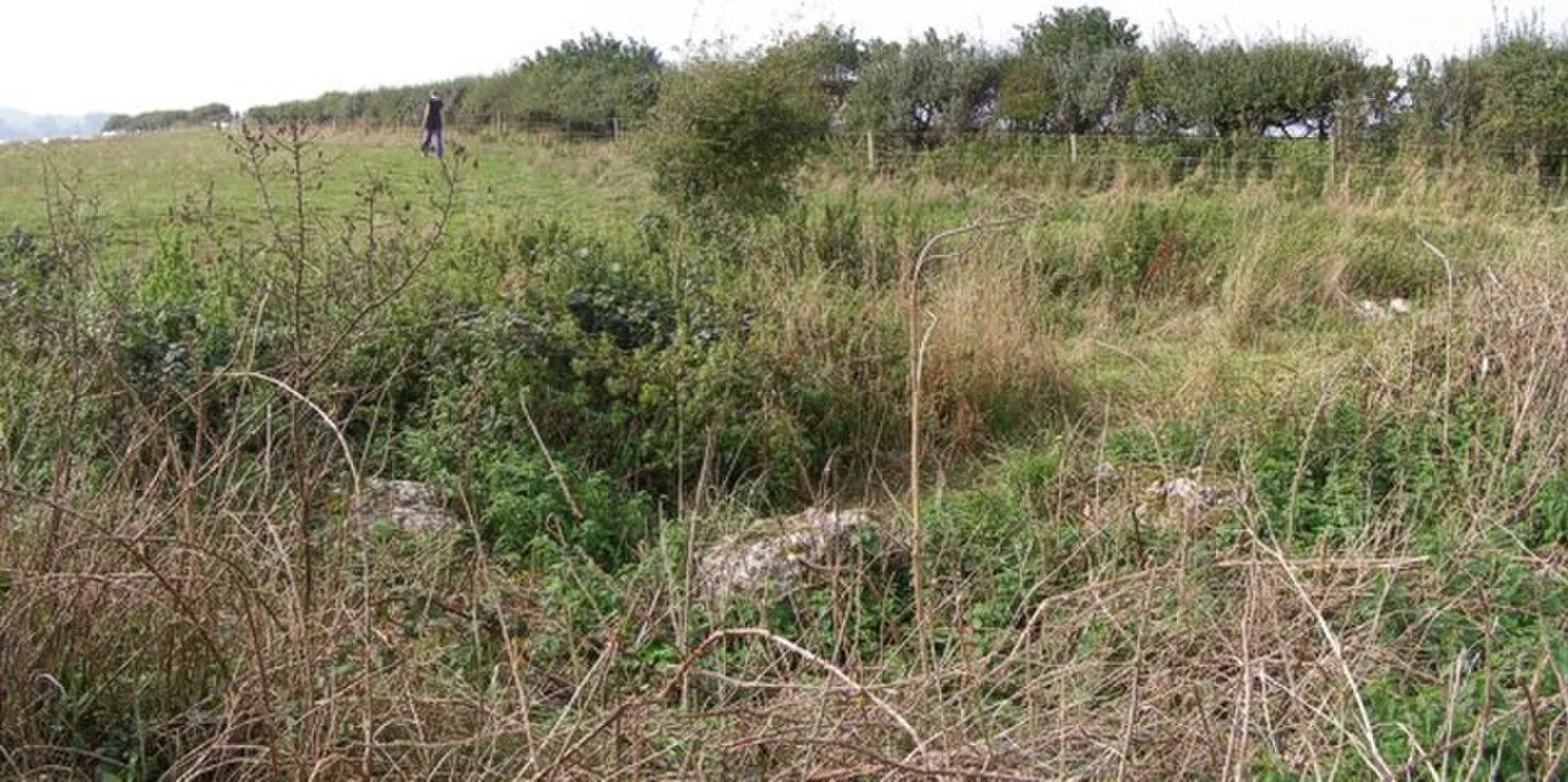
Positioned at the national grid reference 35960865, Hampton Down Stone Circle is located on the southern edge of an open downland ridge at a height of 680 feet above sea level [1]. A photograph from 1908 showed sixteen stones as part of the monument [1]. However, by 1964 twenty-eight stones were found to be part of the circle [1]. In 1964 the stones in the circle were disturbed by agricultural activity [1]. It was then decided that the site would be excavated, a project which was ordered by the Ministry of Public Building and Works and carried out in May 1965 under the directorship of Geoffrey J. Wainwright [1]. The excavation revealed that the location of the stones was not their original prehistoric position [1]. The original location of the circle was identified as existing a few feet to the west [1]. The original circle had either eight or possibly nine sockets for stones and was oval shaped [1].
Text: Wikipedia – 'Hampton Down Stone Circle' (revision of 2026-08-23), CC BY-SA 4.0 · sentences selected and shortened by an AI system · source →Hampton Down Stone Circle
| Type | Stone circle |
|---|---|
| Period | 4500 - 3000 BC |
| Country | England |
| Coordinates | 50.6768° N, 2.5731° W |