
 England
Devil's Lapful is an archaeological site in Northumberland in Kielder Forest about 0.8 miles south-east of Kielder [1]. The site, a Neolithic long cairn, is a scheduled monument [1]. The cairn is one of few surviving long cairns in Northumberland [1]. It is on the south-west slope of a hill, and is orientated north-north-east to south-south-west [1]. It is constructed of rounded boulders with some stone slabs, and with smaller stones at the edges; it measures 60 by 14 metres, and is 2 metres high [1].
Text: Wikipedia – 'Devil's Lapful' (revision of 2026-07-21), CC BY-SA 4.0 · sentences selected and shortened by an AI system · source →Devil's Lapful
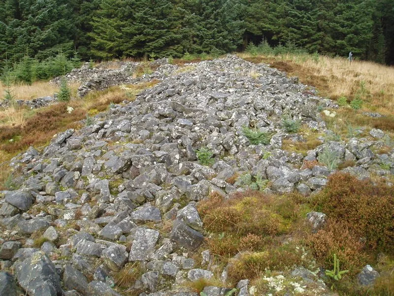
Also known as: Devil's Lapful Long Cairn, 1km east of Butteryhaugh Bridge
| Type | Cairn |
|---|---|
| Period | 4500 - 3000 BC |
| Country | England |
| Coordinates | 55.2288° N, 2.5645° W |